
What is recorded here
In graveyard (CO124-035001-). Stump of wall (L c. 2m; H 1.9m) running E-W, just S of centre in yard, may be remains of ancient parish church of Templetrine which is shown as rectangular structure on 1842 OS 6-inch map; it was in repair in 1639 but in need of repairs by 1680s (Brady 1863, vol. 1, 346).
The above description is derived from the published 'Archaeological Inventory of County Cork. Volume 1: West Cork' (Dublin: Stationery Office, 1992). In certain instances the entries have been revised and updated in the light of recent research.
Date of upload/revision: 14 January 2009
The monument record does not grant public access. Check the route and ask the landowner before entering private land.
- What survives
- Recorded monument
Places near here
 Church of Ireland Templetrinechurch/chapel · 32 yd
 Garrettstown ForestWood · 328 yd
 ToberreendoneyHoly well · 603 yd
 Ballycatten FortArchaeological place · 761 yd
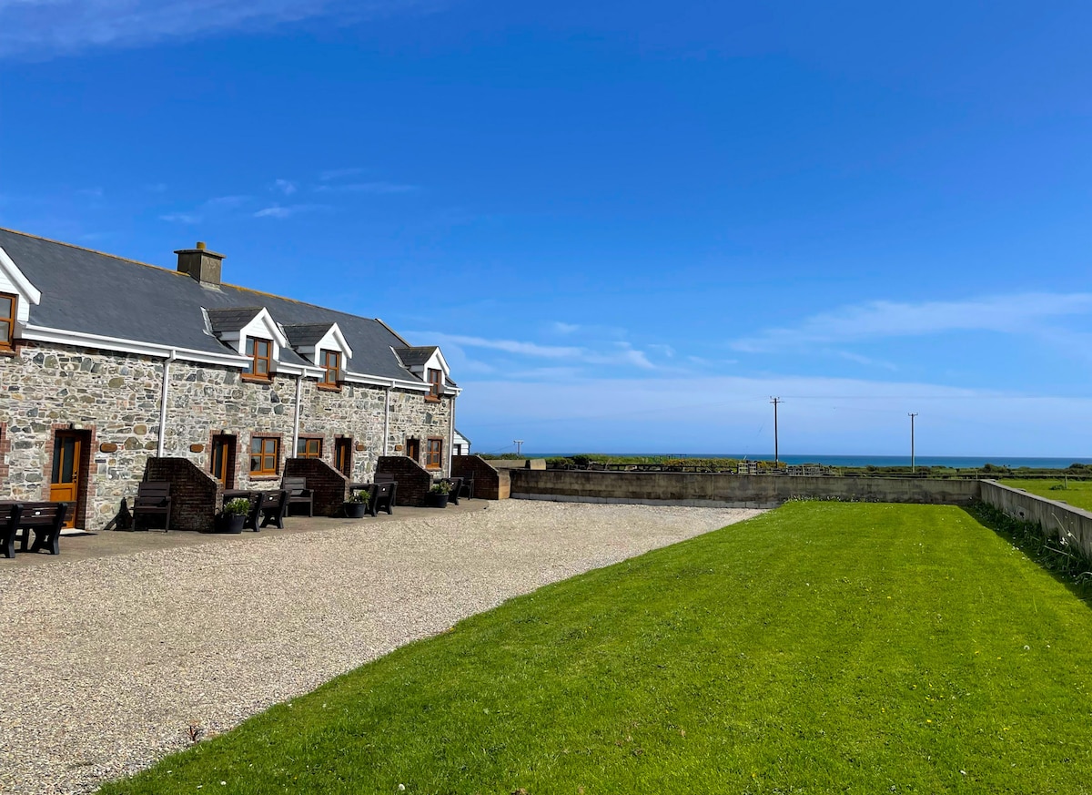 Kilmore WoodWood · 1121 yd
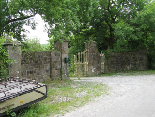 Garrettstown Housedemesne walls/gates/railings · 1209 yd
 The Moving StatueHeritage attraction · 1.3 mi
 Hackstown Raised Beach GeologyNamed rock · 1.7 mi
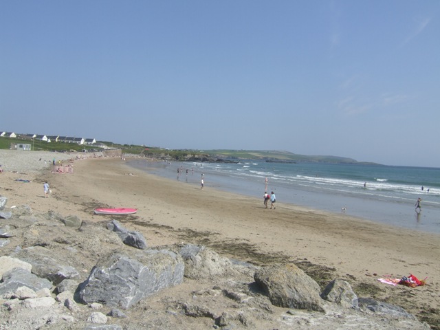 Garretstown StrandBeach / strand · 2.0 mi
 Howe's StrandBeach / strand · 2.1 mi
 Castle (in Ruins)Castle, tower house · 2.4 mi
 Crois Na Leanbh MemorialMemorial · 2.7 mi
Other information
Photo: Credit not shown in the picture search · Rights wording not checked; contact us if this picture should be removed