
What is recorded here
Situated on a slight N-facing slope. Archaeological testing (E004781) of an area required for the construction phase of the M11 Gorey to Enniscorthy motorway in November 2016 identified archaeological features (excavationis.ie 2017:167) which were fully excavated (E004856) in April 2017 as Ballycarrigeen Lower 11, Area 2 (excavations.ie 2017:315).
A rectangular trough (dims 1.8m x 1.5m; D 0.4m) with rounded corners, straight sides and a flat base, and a subcircular, straight-sided trough (dims 1.8m x 1.3m; D 0.3-0.4m) just to its N were both lined with a dark grey clay and were filled with similar layers of grey clay with stones and a black silty layer with heat-shattered stones. Both troughs were cut by an E-W pit (L 2.2m; Wth 0.5m; D 0.25m) and all three features were cut by a N-S drain so the relationships between them could not be established. A large shallow cut (dims 5.2m NE-SW; 1.85m NW-SE; D 0.2m) filled with a grey sand and burnt stones beneath a brown, charcoal-flecked sand was just to the SE of the troughs, and a small subrectangular pit (dims 0.6m x 0.6m; D 0.13m) filled with black sand was inserted in its NE end. Just NE of the troughs was a pit (dims 2m x 1.3m; D 0.3m) with three deposits that was re-cut (dims 1.5m x 0.6m; D 0.2m) once and the re-cut was filled with black sand and burnt stone. Just W of the troughs was a channel (dims 5m N-S; 0.55m; D 0.17m) with four fills including burnt mound material. These features were just S of five spreads of burnt mound material (max. dims 2.8m N-S; 2m E-W; D 0.2m) interleaved with gravels. No artefacts were recovered but a sample of hazel charcoal from the subcircular trough provided a C14 date of 2286-2034 cal. BC (UBA – 37749). (Whitty and Kavanagh 2018, 9-13; Whitty and Kavanagh 2020, 5-9)
See the attached plan from Whitty and Kavanagh (2018, fig. 4)
Compiled by: Michael Moore
Date of upload; 24 November 2020
The monument record does not grant public access. Check the route and ask the landowner before entering private land.
- What survives
- Recorded monument
Places near here
 Fulacht fia in Ballycarrigeen LowerFulacht fia · 373 yd
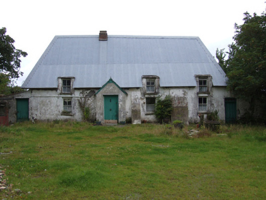 farm housefarm house · 1191 yd
 Fulacht fia in MountgeorgeFulacht fia · 1240 yd
 KilnKiln, corn-drying · 1.1 mi
 The GroveWood · 1.5 mi
 The CoilWood · 1.5 mi
 IndicatedCastle, ringwork · 1.9 mi
 Father Murphy CentreHeritage attraction · 2.1 mi
 Giants BedNamed rock · 2.3 mi
 Ferns Castle (in ruins)Castle, Anglo-Norman masonry castle · 2.6 mi
 Carrigroe HillMountain / peak · 2.8 mi
 Milshoge RockMountain / peak · 3.2 mi
Other information
Photo: Credit not shown in the picture search · Rights wording not checked; contact us if this picture should be removed