What is recorded here
Identified during archaeological monitoring of topsoil stripping associated with a residential development at Clarina Village. Excavated under licence no. 03E1603 by Ken Wiggins (Wiggins 2004), the results were summarised as ‘The archaeological area had maximum dimensions of c. 30m east-west by c. 20m. It was a large, roughly circular spread of dark-grey silty clay containing numerous pieces of heat-shattered sandstone. Excavations took place between 29 September and 15 October 2003. Excavation revealed a trough in the subsoil, measuring 4.72m east-west by 3.22m by up to 1.04m deep. The primary fill was black silty clay containing a high percentage of burnt sandstone; the secondary fill contained two wooden stakes and many other fragments of worked wood. An ancillary pit measured 1.32m east-west by 1.32m by up to 0.4m deep. The two fills contained some fragments of wood and burnt stone. The site, which appears to be the levelled remains of a fulacht fiadh, also contained a scattering of smaller pit-like features contemporary with the trough. It was also criss-crossed by a network of narrow drainage channels of modern origin’ (www.excavations.ie; Wiggins 2006, 310).
Compiled by: Martin Fitzpatrick
Date upload: 26 June 2020
The monument record does not grant public access. Check the route and ask the landowner before entering private land.
- What survives
- Recorded monument
Places near here
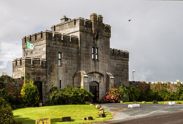 Elm Park Housegate lodge · 583 yd
 Grave YardGraveyard · 706 yd
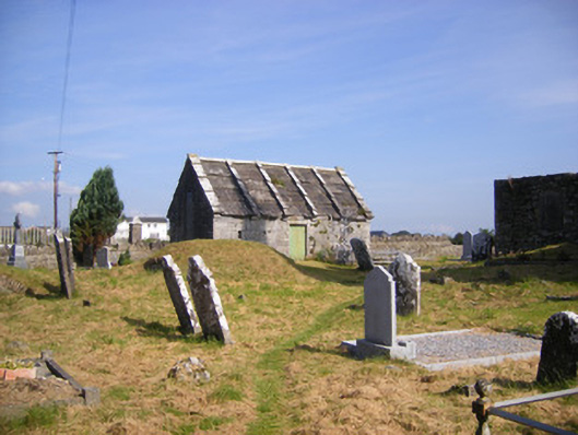 Church of Saint Philip and Saint James (Kilkeedy)mausoleum · 742 yd
 BarrowBarrow, unclassified · 965 yd
 Carrigogunnell CastleRuins · 1615 yd
 St James's WellSpring · 1.0 mi
 Meelick Ho.House, fortified house · 1.1 mi
 Sailors HaggardMemorial · 2.0 mi
 Coonagh NatureNature reserve · 2.2 mi
 Grass IslandIslet · 4.2 mi
 Maiden RockNamed rock · 4.4 mi
 Cratloe WoodsForest · 4.8 mi