What is recorded here
Excavated in advance of construction of the N9/N10 Kilcullen-Waterford Road (Excavation Licence number E2618, area b). One of three fulacht fia (see also CW012-115----and CW012-155----) excavated under the same licence. Adjacent to a small stream, a burnt mound (L 11m; Wth 7m) under which was a rectangular trough-type feature containing post-holes in each corner, that had been truncated by a large pit (diam. c. 3m). A number pits, post-holes and stake-holes were excavated in the vicinity. Finds included possible prehistoric pottery and disarticulated animal bone. (Hackett, L. 2009, 38)
Reference:
Hackett, L. (2009) 'Ballybar Lower Burnt mounds, prehistoric activity' in I. Bennett (ed.), Excavations 2006: summary accounts of archaeological excavations in Ireland, 38 (155). Bray. Wordwell
Compiled by: Claire Breen
Date of upload: 10 November 2010
The monument record does not grant public access. Check the route and ask the landowner before entering private land.
- What survives
- Recorded monument
Places near here
 Enclosure in BallybannonEnclosure · 718 yd
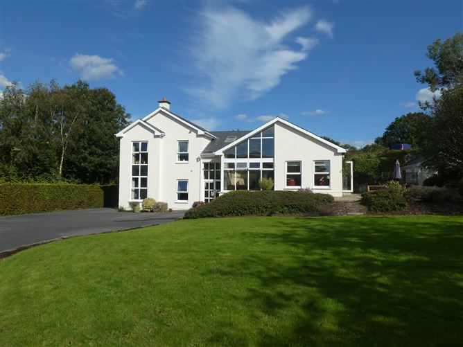 Enclosure in ClonmelshEnclosure · 844 yd
 Graveyard in ClonmelshGraveyard · 1112 yd
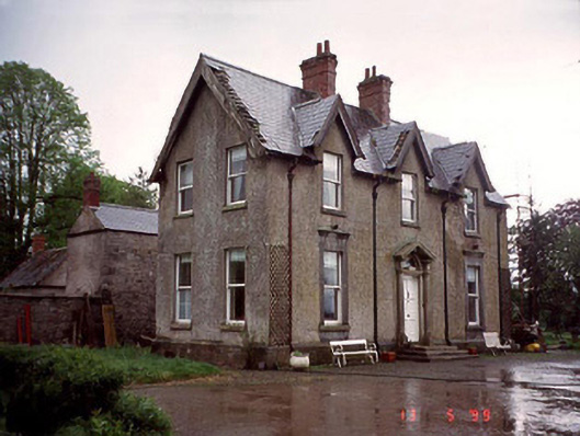 Garryhundon Househouse · 1.4 mi
 Strong Stream Millmill (water) · 1.4 mi
 Clogrenan CastleCastle, tower house · 2.2 mi
 Graveyard in Tomard Lower (3 Detached Portions)Graveyard · 2.4 mi
 Common LimeCommon Lime · 3.0 mi
 Graiguealug Castle in ruinsCastle, unclassified · 3.0 mi
 Pedunculate OakPedunculate Oak · 3.4 mi
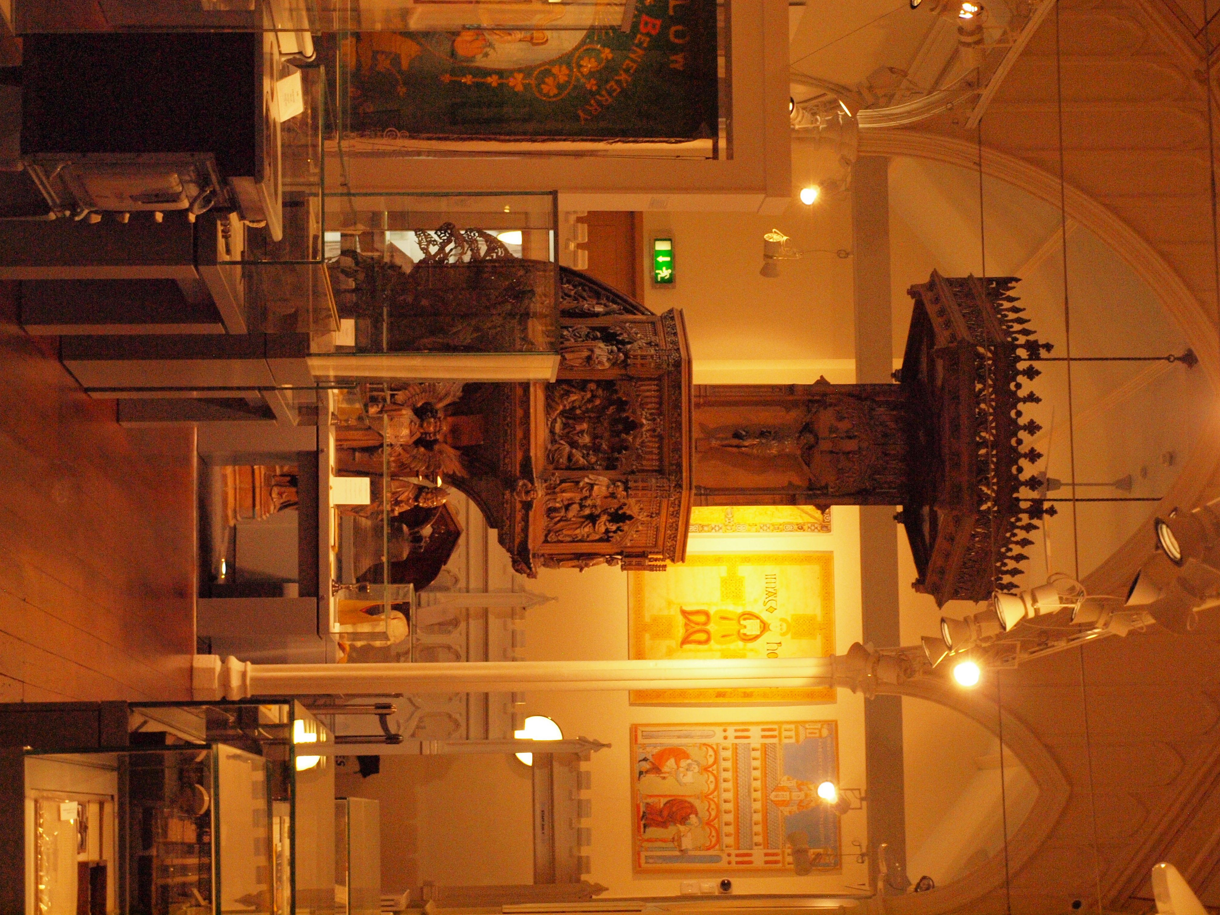 Carlow County MuseumMuseum · 3.5 mi
 Carlow CastleRuined medieval castle · 3.5 mi