What is recorded here
Situated on a gentle N-facing slope. Topsoil stripping (02E0194) in advance of a gas pipeline identified as a large area (dims 46m E-W; 10.5m N-S; D 0.3m) of heat-shattered stone (BGE: 1A/25/1) which was completely excavated (02E0687). It resolved itself into two fulachta fia, the single troughs of which were 25m apart E-W. The E spread (dims 7m E-W; 3m N-S; max. T 0.12m) had a small subrectangular pit (dims 0.9m E-W; 0.6m N-S; D 0.3m) with compact clay lining the base. (Byrne 2002, 2004, 2007)
Compiled by: Michael Moore
Date of upload: 8 March, 2018
The monument record does not grant public access. Check the route and ask the landowner before entering private land.
- What survives
- Recorded monument
Places near here
 Fulacht fia in ArodstownFulacht fia · 12 yd
 IndicatedBawn · 1235 yd
 Church (in Ruins)Church · 1537 yd
 CastleCastle, unclassified · 1545 yd
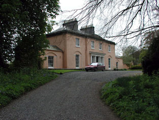 Galtrim Housecountry house · 1698 yd
 Old Burial GroundChurch · 1720 yd
 European ashEuropean ash · 2.4 mi
 Saints IslandForest · 2.6 mi
 MullaghMountain / peak · 3.8 mi
 Larchil Arcadian GardensHeritage attraction · 4.4 mi
 1798 MemorialMemorial · 4.5 mi
 Kilgar GardensHeritage attraction · 5.0 mi