What is recorded here
Friars Grave is a small stone heap beside a holy well in County Donegal, misread as a dolmen only because a map gave it a religious name. The real shape is clearer now: a cairn, not a chamber, marking a well rather than a dead king. A friar may have died here, or a woman may have buried a lost ring beside the water and called the heap his grave to keep people from digging. Either way the stones still guard the well, and the well still gives back what arrogance forgets.
Indicated as 'Friar's Grave' on the OS 6-inch maps. Borlase (1897) listed this site as a possible 'dolmen' on the basis of its name on the OS 6-inch map. It is a small heap of stones beside a holy well (DG038-002----) (Lacy 1983).
OS Name Book, Fahan Upper parish (1833-4), 1; OS Revision Name Book, sheet 38 (1847-8), 45; Borlase 1897, 230, Inishowen West no. 4; Somerville 1929, 164; Killanin and Duignan 1962, 113; Killanin and Duignan 1967, 127; Lacy 1983, 305, no. 1708; SMR 1987, 38:2; Colhoun 1995, 82; RMP 1995, 38:2.
There is a hilltop enclosure (DG038-001001-) on the ridge top immediately to SW.
The above description was published in the 'Survey of the Megalithic Tombs of Ireland. Volume VI, County Donegal.' Compiled by: Eamon Cody (Dublin: Stationery Office, 2002).
Date of upload: 22 September 2008
Portal dolmen; likely dates to the Neolithic or early Bronze Age. Its association with a holy well suggests possible later ritual or Christian-era significance.
The monument record does not grant public access. Check the route and ask the landowner before entering private land.
- What survives
- Recorded monument
Places near here
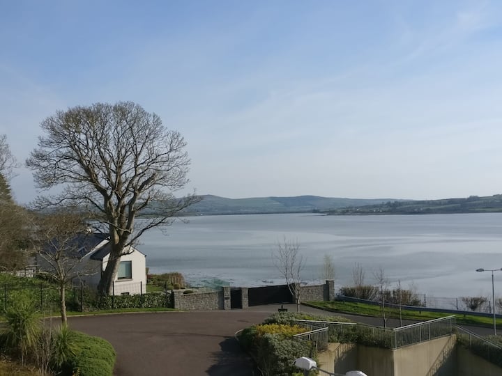 Lisfannan Hilltop EnclosureHilltop enclosure · 84 yd
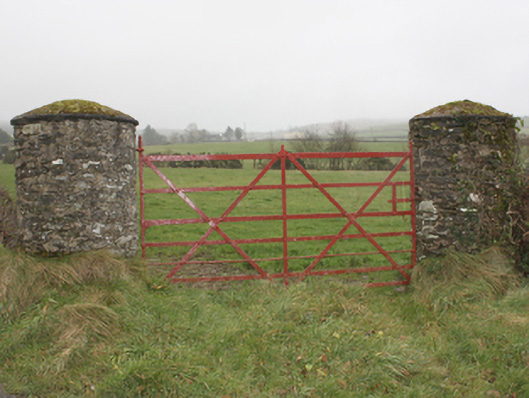 gates/railings/wallsgates/railings/walls · 1564 yd
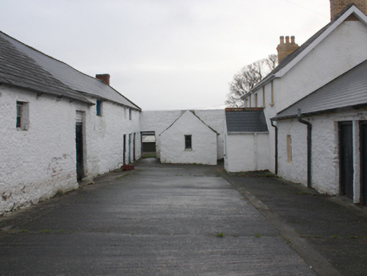 farmyard complexfarmyard complex · 1583 yd
 LisfannonOfficial bathing water · 1703 yd
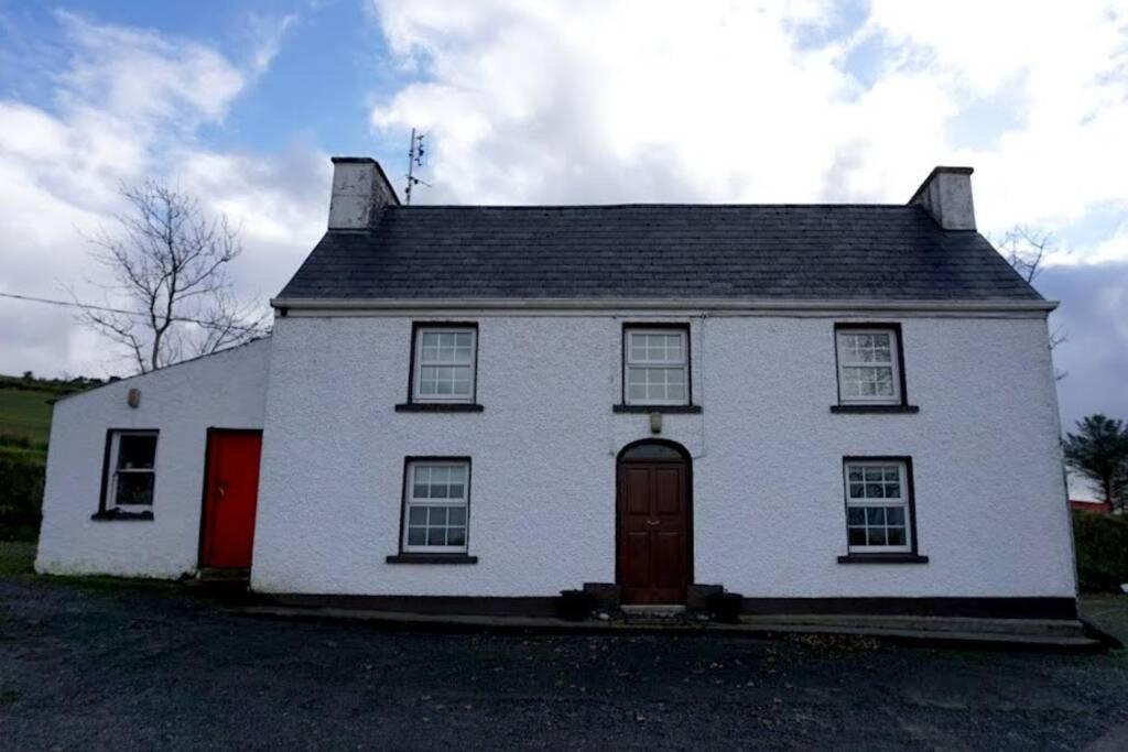 Dermot & Grania's BedArchaeological place · 1.1 mi
 Brown’s PointHeadland · 1.8 mi
 Lackan ForestForest · 2.0 mi
 Lady's Bay, BuncranaOfficial bathing water · 2.0 mi
 Bawn in An Machaire Beag (tc Fathain)Bawn · 2.1 mi
 Mass RockNamed rock · 2.1 mi
 O'Doherty's KeepCastle · 2.6 mi
 Cashel HillMountain / peak · 2.8 mi