
Places near here
Photo credits
- National Inventory of Architectural Heritage
- Gareth James, Geograph · Creative Commons Attribution-ShareAlike 2.0
- Kay Atherton, Geograph · CC BY-SA 2.0
- Kenneth Allen, Wikimedia Commons · CC BY-SA 2.0
- Pamela Norrington, Geograph · CC BY-SA 2.0
- Kmcnamee, Wikimedia Commons · CC BY-SA 4.0
- Western People; photographer not stated (Stuart Tynan is article author), www.westernpeople.ie
- Pamela Norrington, Geograph · Creative Commons Attribution-ShareAlike 2.0
- Liz McCabe, Geograph · CC BY-SA 2.0
- Ken Ratcliff, Wikimedia Commons · CC BY 2.0
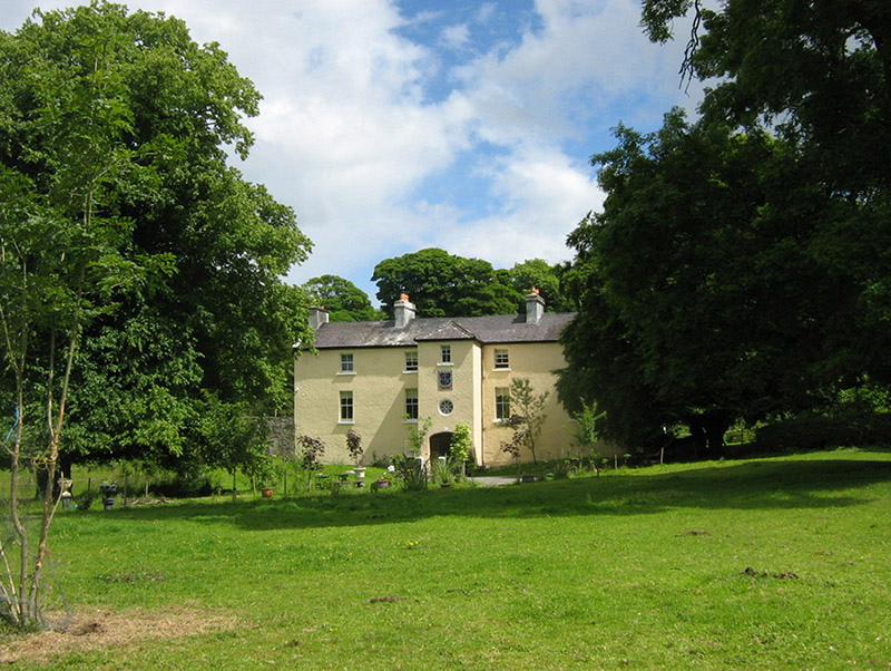 Cloongee HouseHouse · 1.6 mi
Explorer Tom Cloongee House took roughly four million cups of tea to build, mostly because the workers needed comfort after hauling…
 Foxford Railway StationBuilding misc · 1.8 mi
Explorer Tom Foxford Railway Station is just an overgrown water tower now that the actual station is gone, looking rather…
 Lough CullinViewpoint · 1.9 mi
Explorer Tom Lough Cullin again? Apparently there are two of them, which is either impressive or lazy. I reckon the treasure is just…
 Admiral William BrownMemorial · 2.5 mi
Explorer Tom Admiral William Brown has an imaginary fan club that meets every Tuesday, mostly just to complain about the wind and…
 Ballylahan Castle in RuinsCastle, Anglo-Norman masonry castle · 2.8 mi
Explorer Tom Ballylahan Castle in Ruins would survive a zombie attack by just letting them trip over its own massive stone…
Ballylahan CastleCastle · 2.8 miExplorer Tom Ballylahan Castle had an escape plan that involved running out the back door and never looking back, which worked well…
 Srath Garbh, Bohola-Moy Davitts, FoxfordGAA ground · 2.9 mi
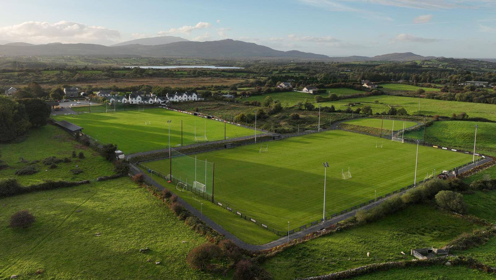 Parke, Parke-Keelogues-Crimlin GAAGAA ground · 3.7 mi
 Grave YardGraveyard · 4.0 mi
Explorer Tom Graveyard in Toomore would order extra vinegar on its chips because it likes things sharp and memorable. It recently…
 FarbreigaMountain / peak · 4.3 mi
Explorer Tom Farbreiga is hiding a secret message in its stones that only very tired hikers can decipher after a long walk. It’s…
 TowerRound tower · 5.3 mi
Explorer Tom Tower in Turlough is the only thing left from an early medieval monastery that probably smelled terrible. The shortcut…
 BurrenMountain / peak · 7.1 mi
Explorer Tom Burren would say to the place that replaced it, 'You can’t beat original rock,' even though it’s basically just a big…
More mountains and hills in County Mayo · All of County Mayo

What do you know about this place?Tap to add a comment or ask a question