
What is recorded here
Framgord Cemetery is a graveyard in Shetland Islands, Scotland.
From OpenStreetMap (© OpenStreetMap contributors) w785993403
Places near here
Photo credits
- Mike Pennington, Wikimedia Commons · CC BY-SA 2.0
- Robert Sandison, Wikimedia Commons · CC BY-SA 2.0
- Anne Burgess, Wikimedia Commons · CC BY-SA 2.0
- Maker not stated on source page, www.northlinkferries.co.uk
- Tom Pennington, Wikimedia Commons · CC BY-SA 2.0
 SandwickBank (earthwork)(s), Clearance Cairn(s), Cultivation Terrace(s), Enclosure(s), Fence(s) (20th Century), Field Boundary(s), Field System(s) (period Unassig · 788 yd
 Loch of VatnagarthBank (earthwork)(s) (post Medieval), Enclosure(s) (post Medieval) · 820 yd
 HannigarthClearance Cairn(s), Cultivation Remains(s), Fence(s), Field Boundary(s), Field Drain(s), Track(s) · 1166 yd
 TrampmiresDrain(s) (19th Century), Enclosure (19th Century) · 1244 yd
 Loch of HoverstaBank (earthwork) (post Medieval) · 1251 yd
 Loch HoverstaMarker Cairn · 1454 yd
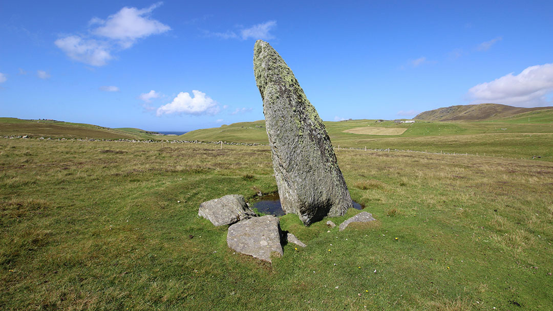 Vord Hill standing stoneArchaeological place · 1489 yd
 Unst, UyeasoundHorizontal Mill · 1.8 mi
 Burn of WatleeHut (possible), Pen (possible) · 1.8 mi
 GritquoyStone Heap(s) (19th Century) - (20th Century) · 1.8 mi
 Gardiesfauld, UyeasoundBuilding (20th Century) · 2.1 mi
 Little HolmIslet · 2.2 mi
More memorials and graveyards in Shetland Islands · All of Shetland Islands

What do you know about this place?Tap to add a comment or ask a question