What is recorded here
4 Abbeys Cycle Route is shown as a visitor information on the public map of Scottish Borders. The saved point is the map point or the centre of its mapped shape.
This does not grant access. Check current paths, opening conditions and ownership before entering.
Places near here
 Jedburgh, Abbey BridgeRoad Bridge (19th Century) · 24 yd
 Jed WaterFindspot (period Unassigned), Coin(s) (period Unassigned) · 72 yd
 Jedburgh AbbeyBoundary Wall (period Unassigned) · 95 yd
 Jedburgh War MemorialMemorial · 107 yd
 Jedburgh, Abbey Place, Public HallDrill Hall (first World War), Town Hall (20th Century) · 182 yd
 Jedburgh, Newcastle Road, Allerley Well Park, Gatepiers and Boundary WallGate Pier (19th Century) · 260 yd
 Jedburgh, Exchange StreetNo Class (event) (period Unassigned) · 265 yd
 Jubilee FountainMemorial · 277 yd
 Jedburgh, CanongateNo Class (event) (period Unassigned) · 308 yd
 Jedburgh, Castlegate, Jedburgh Castle JailCastle (medieval), Jail (19th Century) · 361 yd
 Mary Queen Of Scots' Visitors CentreMuseum · 404 yd
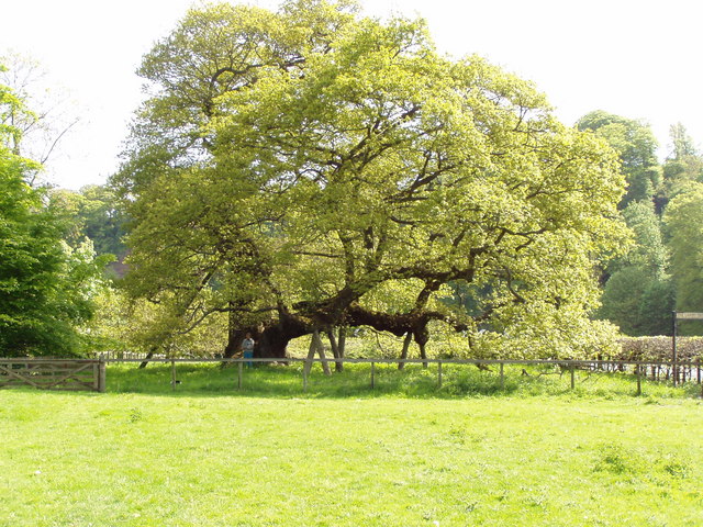 Capon TreeSessile Oak · 1597 yd