What is recorded here
Map note: There is a map point for Foulshiels Bing, a wood near Stoneyburn, West Lothian, Scotland. The landscape can keep its secrets; the map gives away the location.
From OpenStreetMap (© OpenStreetMap contributors) w475049343
Places near here
Photo credits
- JThomas, Wikimedia Commons · CC BY-SA 2.0
- Maker not stated on source page, www.alamy.com
- M J Richardson, Wikimedia Commons · CC BY-SA 2.0
- Maker not stated on source page, uk.pinterest.com
- Ian Dodds, Wikimedia Commons · CC BY-SA 2.0
- Maker not stated on source page, www.pinterest.com
- Alan Reid, Wikimedia Commons · CC BY-SA 2.0
- Richard Webb, Wikimedia Commons · CC BY-SA 2.0
- Maker not stated on source page, www.flickr.com
- John Hardie, Wikimedia Commons · CC BY-SA 2.0
- Maker not stated on source page, ru.pinterest.com
- Maker not stated on source page, www.tripadvisor.ca
 War MemorialMemorial · 604 yd
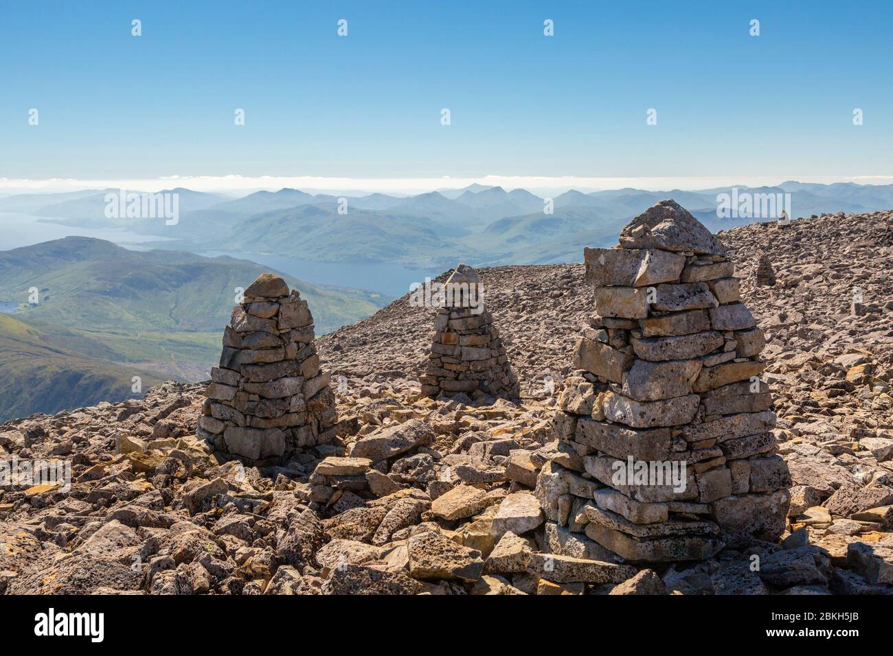 Mining Heritage CairnMemorial · 604 yd
 Stoneyburn, Main Street, Stoneyburn Parish Church, HallChurch Hall (20th Century) - (21st Century), House (21st Century) · 699 yd
 Stoneyburn, Main Street, Stoneyburn Pentecostal ChurchChurch (20th Century) · 809 yd
 Stoneyburn, Stoneyburn HouseHouse · 858 yd
 Addiewell Wee ForestWood · 1312 yd
 Addiewell, Blackburn Road, St Thomas' Roman Catholic ChurchChurch (20th Century) · 1.0 mi
 Blackburn, Mill Road, GeneralGeneral View · 1.3 mi
 Longridge MossNature reserve · 1.5 mi
 The Five SistersHeritage attraction · 1.9 mi
 Baads CastleCastle (medieval) · 2.0 mi
 Whitburn Community MuseumMuseum · 2.2 mi
More woods, forests and old trees in West Lothian · All of West Lothian

What do you know about this place?Tap to add a comment or ask a question