What is recorded here
Fortified rural barracks in Shanroe, County Armagh, date to the C18TH, when armed men likely guarded the countryside rather than merely lived there. The stones may have sheltered officers, horses and frightened civilians during sudden violence. They remind us that rural peace often depended on visible military strength.
The official Northern Ireland record identifies this as Fortified rural barracks.. Recorded period: C18TH. The official map point was placed at the centre of the recorded archaeological site from the source map reference.
The monument record does not grant public access. Check the route and ask the landowner before entering private land.
- What survives
- Recorded monument
Places near here
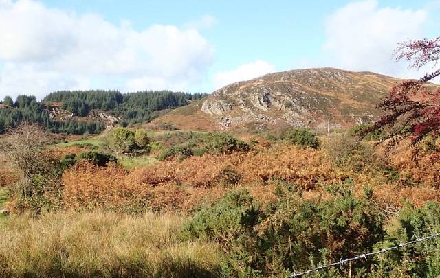 Mullaghbane MountainMountain / peak · 1311 yd
 Mass Rock Loop TrailWalking route · 1404 yd
 CroslieveMountain / peak · 1.0 mi
 ENCLOSURE in CarriveENCLOSURE · 1.6 mi
 Ring of Gullion Way - ForkhillVisitor information · 1.6 mi
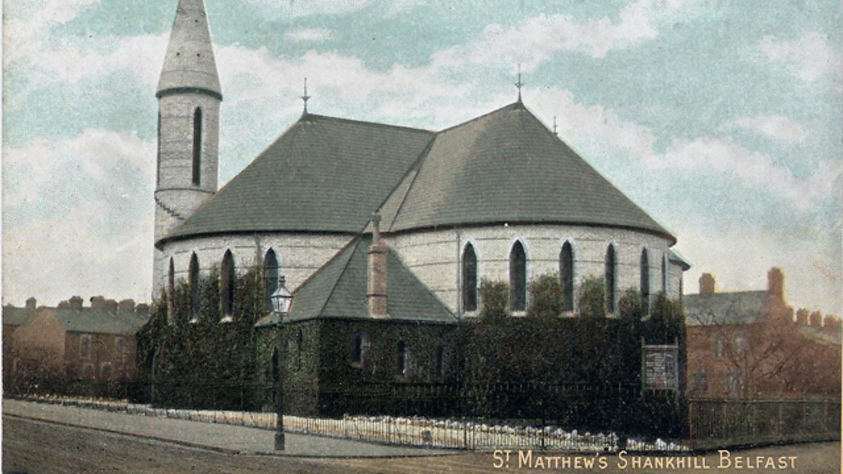 CHURCH SITE & CROSS-CARVED BOULDER: THE SHANKILL in CloghinnyCHURCH SITE & CROSS-CARVED BOULDER: THE SHANKILL · 1.6 mi
 Forkhill Greenspace PathwayWalking route · 1.7 mi
 Slieve GullionMountain / peak · 2.2 mi
 Bawn in DungoolyBawn · 2.3 mi
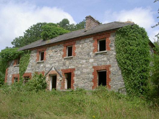 Dungooly Millmiller's house · 2.4 mi
 IndicatedChurch · 2.4 mi
 Ring of GullionRing of hills and protected landscape · 2.5 mi