What is recorded here
Dunshammer rises in Ballintoy Demesne as a medieval fortified outcrop, its exact age still uncertain but its purpose plain: height, sight and defense. The land itself became the instrument, perhaps shaped by human hands into a weapon against invasion or ambition. That much structure suggests pride, fear or both.
The official Northern Ireland record identifies this as FORTIFIED OUTCROP: DUNSHAMMER. Recorded period: MEDIEVAL; UNCERTAIN. The official map point was placed at the centre of the recorded archaeological site from the source map reference.
The monument record does not grant public access. Check the route and ask the landowner before entering private land.
- What survives
- Recorded monument
Places near here
 A.P. SITE: POSSIBLE ENCLOSURE in Ballintoy DemesneA.P. SITE: POSSIBLE ENCLOSURE · 558 yd
 ENCLOSURE & Possibly Man-made underground passage in MagheraboyENCLOSURE & Possibly Man-made underground passage · 764 yd
 White Park BayBeach / strand · 1531 yd
 Fullerton ArmsPublic House · 1624 yd
 Sheep IslandIslet · 1.2 mi
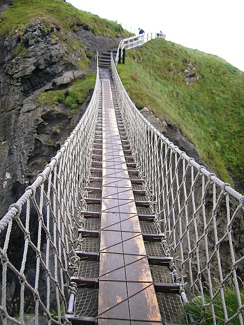 Carrick-a-rede Rope BridgeHeritage attraction · 1.9 mi
 Carrickarede IslandIslet · 1.9 mi
 Dunseverick FallsWaterfall · 2.4 mi
 DunsevrickCliff · 2.5 mi
 Dunseverick CastleCastle · 2.7 mi
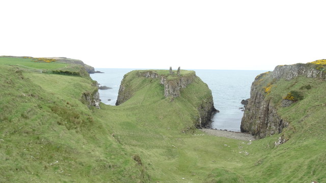 DUNSEVERICK CASTLE in Feigh Alias DunseverickDUNSEVERICK CASTLE · 2.7 mi
 Dunseverick Parish ChurchChurch · 3.5 mi