What is recorded here
Medieval Portnelligan still carries two names, suggesting it served more than one purpose or belonged to more than one memory. The question mark in its own record admits that nobody has fully explained the shape of its defence. What is certain is that people built or marked the place during the middle ages, and it has remained visible enough to argue about ever since.
The official Northern Ireland record identifies this as FORTIFICATION?: PORT NA FHAILEAGAIN, PORTIENULIGAN. Recorded period: MED/L.MED. The official map point was placed at the centre of the recorded archaeological site from the source map reference.
The monument record does not grant public access. Check the route and ask the landowner before entering private land.
- What survives
- Recorded monument
Places near here
 ENCLOSURE in DoogaryENCLOSURE · 1487 yd
 ENCLOSURE in KiltubbridENCLOSURE · 1.1 mi
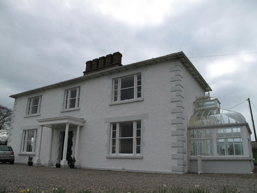 Annagola Housecountry house · 2.6 mi
 St. Vindic's ChurchChurch · 3.0 mi
 Old WoodForest · 4.0 mi
 Harry LaveryMemorial · 4.2 mi
 Lebanon CedarLebanon Cedar · 4.4 mi
 Keady MonumentMemorial · 4.5 mi
 Navan FortArchaeological place · 5.5 mi
 Castleshane WaterfallWaterfall · 5.5 mi
 Mullacreevie ambushambush · 6.2 mi
 No 5 Vicars' HillMuseum · 6.7 mi