What is recorded here
In 1690 during the Williamite Wars earthwork fortifications were constructed around the historic town (WM019-089----) of Mullingar. These fortifications may have incorporated the earlier town defences (WM019-089035-) dating from the late 16th century (Andrews and Davies 1992, 10). In 1691 new fortifications were constructed around the town which included the construction of a star-shaped fort around All Saints’ parish church (WM019-089016-) and graveyard (WM019-089017-). This star-shaped fortification is depicted on Richards map of Mullingar dating from 1691 (Andrews and Davies 1992, Map 4).
See attached image of artillery fortification shown on Richards Map of 1691 - taken from Irish Historic Towns Atlas of Mullingar (Andrews and Davies 1992, Map 4).
Compiled by: Caimin O'Brien
Date of upload: 02 July 2014
The monument record does not grant public access. Check the route and ask the landowner before entering private land.
- What survives
- Recorded monument
Places near here
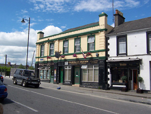 Railway Houseshop/retail outlet · 83 yd
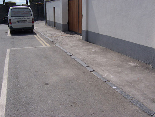 cobbles/flags/paving/kerbingcobbles/flags/paving/kerbing · 112 yd
 Famine MemorialMemorial · 331 yd
 CastleCastle, unclassified · 344 yd
 The Chimera GalleryGallery · 373 yd
 Site of CastleCastle, unclassified · 387 yd
 Mullingar Cathedral MuseumMuseum · 439 yd
 Courthouse in MullingarCourthouse · 556 yd
 Town defences in MullingarTown defences · 724 yd
 Augustinian Monks Memorial StatueMemorial · 840 yd
 Saint Brigid's WellSpring · 1.8 mi
 Lady's IslandWood · 2.7 mi