What is recorded here
Fort (Site of) was a ringfort atop a Cork knoll, but ploughs and time erased its boundary. It vanished into ordinary soil, leaving behind a gap in the landscape rather than a ruin to point at. What remained was a name on an old map and a hint that the knoll once belonged to someone bold enough to fortify it.
In tillage, atop knoll. Also shown on 1842 OS 6-inch map as 'Fort (site of)'. Levelled; no visible surface trace.
The above description is derived from the published 'Archaeological Inventory of County Cork. Volume 2: East and South Cork' (Dublin: Stationery Office, 1994). In certain instances the entries have been revised and updated in the light of recent research.
Date of upload/revision: 14 January 2009
The monument record does not grant public access. Check the route and ask the landowner before entering private land.
- What survives
- Recorded monument
Places near here
 bridgebridge · 625 yd
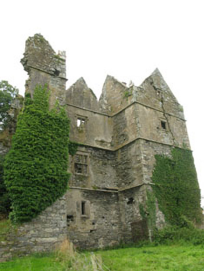 Mount Long Castlecastle/fortified house · 1190 yd
 CastleCastle, unclassified · 1462 yd
 Pallastown WoodWood · 1510 yd
 Graveyard in ArdbrackGraveyard · 1.2 mi
 IndicatedHoly well · 1.3 mi
 Trinity Well (covered)Holy well · 1.5 mi
 Spanish Galleon MainmastHeritage attraction · 1.9 mi
 Kinsale Harbour CruisesHeritage attraction · 1.9 mi
 Tim & Mortimer McCarthy MemorialMemorial · 1.9 mi
 GaolCastle, tower house · 1.9 mi
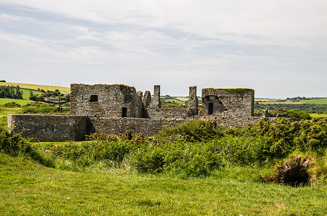 James FortVisitor information · 1.9 mi
Other information
Photo: Credit not shown in the picture search · Rights wording not checked; contact us if this picture should be removed