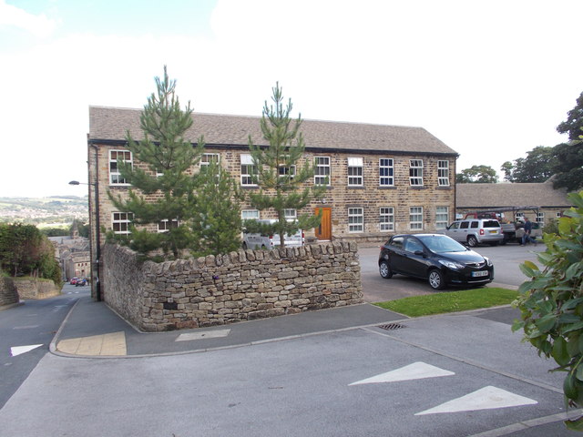
What is recorded here
Former Woodlands Fairy Fort has vanished without a trace despite appearing on early OS maps. It stood on good level ground in County Donegal, likely a simple ringfort rather than a fairy abode. The land may have swallowed the stones or people may have forgotten the name, but the absence itself proves the fort once resisted the tide of time.
There is no trace of the single-ringed 'Fort' marked on the 1st and 2nd editions of the OS 6-inch maps. It was located on good level ground.
The above description was derived from the 'Archaeological Survey of County Donegal. A description of the field antiquities of the County from the Mesolithic Period to the 17th century.' Compiled by: Brian Lacey with Eamon Cody, Claire Cotter, Judy Cuppage, Noel Dunne, Vincent Hurley, Celie O'Rahilly, Paul Walsh and Seán Ó Nualláin (Lifford: Donegal County Council, 1983). In certain instances the entries have been revised and updated.
Date of upload: 22 September 2008
This remains an important historical record, but the official description says the monument is no longer visible or has been destroyed. The monument record does not grant public access. Check the route and ask the landowner before entering private land.
- What survives
- No visible remains or recorded as destroyed
Places near here
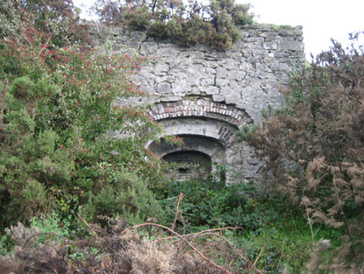 kilnkiln · 755 yd
 Enclosure in CarnshannaghEnclosure · 867 yd
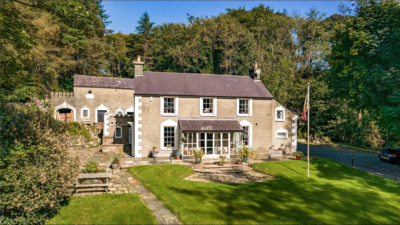 Enclosure in DrummucklaghEnclosure · 911 yd
 Feddyglass WoodWood · 1.1 mi
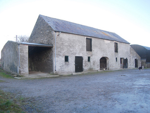 outbuildingoutbuilding · 1.2 mi
 PalaceHouse, fortified house · 2.4 mi
 Mongorry HillMountain / peak · 3.0 mi
 Mongavlin CastleHouse, fortified house · 3.8 mi
 Croaghan HillMountain / peak · 4.6 mi
 Abercorn FactoryHeritage attraction · 5.4 mi
 Strabane Glen (Bird Sanctuary)Wood · 5.5 mi
 Gray PrinterHeritage attraction · 5.6 mi
Other information
Photo: Credit not shown in the picture search · Rights wording not checked; contact us if this picture should be removed