
What is recorded here
Former Tullydush Lower Fairy Fort occupied newly drained flat boggy land in County Donegal, Ireland. It vanished without a trace before surveyors drew the first or second edition of the OS 6-inch maps. The fort may have been a small human dwelling, a forgotten boundary marker or a childish joke written into a public document. In a county where fairy forts still populate the landscape, that last possibility sounds less like nonsense and more like truth.
There is no sign of the 'Fort' shown on the 1st and 2nd editions of the OS 6-inch maps. It was situated in newly drained flat boggy land.
The above description was derived from the 'Archaeological Survey of County Donegal. A description of the field antiquities of the County from the Mesolithic Period to the 17th century.' Compiled by: Brian Lacey with Eamon Cody, Claire Cotter, Judy Cuppage, Noel Dunne, Vincent Hurley, Celie O'Rahilly, Paul Walsh and Seán Ó Nualláin (Lifford: Donegal County Council, 1983). In certain instances the entries have been revised and updated.
Date of upload: 22 September 2008
The monument record does not grant public access. Check the route and ask the landowner before entering private land.
- What survives
- Recorded monument
Places near here
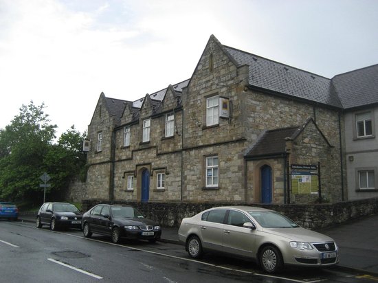 Tullydush Lower EnclosureEnclosure · 513 yd
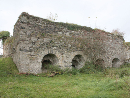 kilnkiln · 1199 yd
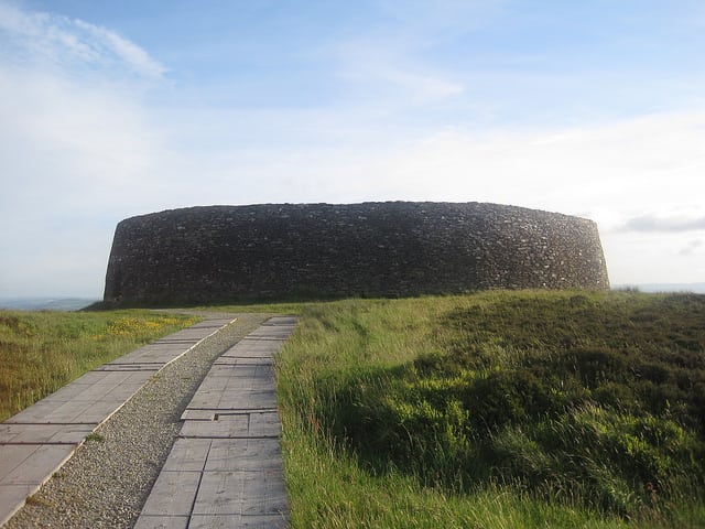 Aghilly and Lenynarnan Fairy FortFairy fort / ringfort · 1623 yd
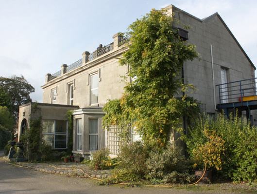 Millfield Househouse · 1.8 mi
 Lady's Bay, BuncranaOfficial bathing water · 2.4 mi
 O'Doherty's KeepCastle · 2.6 mi
 Scalp MountainMountain / peak · 2.8 mi
 Neds Point FortFort · 3.1 mi
 LisfannonOfficial bathing water · 3.6 mi
 Cashel HillMountain / peak · 3.8 mi
 Brown’s PointHeadland · 4.4 mi
 Lackan ForestForest · 4.6 mi
Other information
Photo: Credit not shown in the picture search · Rights wording not checked; contact us if this picture should be removed