What is recorded here
Former Giant's Grave is a vanished megalithic tomb in County Donegal, Ireland. Thomas Fagan found two upright stones about ten yards apart in 1846, but a grain crop blocked further examination. The stones disappeared before the 1905 map, leaving behind only a name and the suspicion that a giant may have slept there.
This feature is named 'Giant's Grave' on the original OS 6-inch map (1833) and on the revised 6-inch map of 1846-8. There is no trace of it now. Thomas Fagan (1845-8), whose examination of the site in 1846 was restricted by a grain crop, found two upright stones c. 10 yards (c. 9.15m) apart and each c. 4 feet (c. 1.2m) high. In seeming confirmation of this, the site is named 'Standing Stones' on an OS pre-publication map, although the name 'Giant's Grave' was retained on the published version (1846-8). The name 'Giant's Grave (Site of)' assigned to the site on the 1905 edition of the OS 6-inch map indicates that the stones had been removed by that date.
Although the nature of the site remains uncertain, there is no convincing evidence that the stones noted by Fagan ever formed part of a megalithic tomb.
OS Name Book, All Saints parish (1833), 6; Fagan 1845-8, book 11, 21; Borlase 1897, 234, Raphoe North no. 4; Ó Nualláin 1983a, 49, no. 179; SMR 1987, 47:19; Colhoun 1995, 98; RMP 1995, 47:19.
The above description was published in the 'Survey of the Megalithic Tombs of Ireland. Volume VI, County Donegal.' Compiled by: Eamon Cody (Dublin: Stationery Office, 2002).
Date of upload: 22 September 2008
This remains an important historical record, but the official description says the monument is no longer visible or has been destroyed. The monument record does not grant public access. Check the route and ask the landowner before entering private land.
- What survives
- No visible remains or recorded as destroyed
Places near here
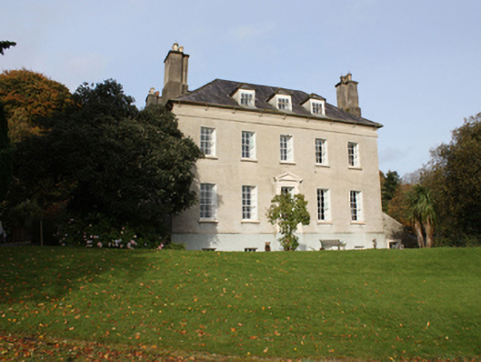 Bogay Housecountry house · 532 yd
 Emmery Celtic CrossWood · 639 yd
 Castruse Househouse · 1668 yd
 CastleCastle, unclassified · 1.5 mi
 Grianán of AileachFairy fort / stone ringfort · 2.0 mi
 Grianán of Aileach Outer HillfortHillfort · 2.0 mi
 Greenan MountainMountain / peak · 2.0 mi
 Former Listicall Lower Fairy Fort and Man-made underground passageFairy fort / ringfort · 2.3 mi
 Burt CastleCastle, tower house · 2.3 mi
 King's GraveArchaeological place · 4.6 mi
 Prehen WoodsForest · 4.9 mi
 InchIsland · 4.9 mi