What is recorded here
Killult means the church of Ulta, yet no wall, gate or cross remains to prove the name. The ground has become pasture, and the dead have become a verb in the townland's tongue. Ulta may have been a saint, a family or a forgotten church; the earth kept the answer while the people stopped repeating it.
There is no trace of the site of a burial ground marked on the 2nd and 3rd editions of the OS 6-inch maps. The site is on a slight W-facing slope in pasture land.
The above description was derived from the 'Archaeological Survey of County Donegal. A description of the field antiquities of the County from the Mesolithic Period to the 17th century.' Compiled by: Brian Lacey with Eamon Cody, Claire Cotter, Judy Cuppage, Noel Dunne, Vincent Hurley, Celie O'Rahilly, Paul Walsh and Seán Ó Nualláin (Lifford: Donegal County Council, 1983). In certain instances the entries have been revised and updated.
Date of upload: 22 September 2008
Excavation licence number 01E0059
Monitoring was carried out in the townland of Killult, Falcarragh, Co. Donegal, on 27 January 2001. The proposed development entails the construction of a two-storey detached dwelling-house and associated services and access road. The site is on high ground to the west of Falcarragh village, overlooking Ballyness Strand, and is near a burial-ground. Excavations were carried out at the location of the proposed house, access road and sewage treatment plant. Topsoil and sod overlay a compact yellow brown sand and bedrock. Nothing of archaeological significance was noted during the course of monitoring. (Excavations Bulletin 2001)
Declan Moore, Moore Archaeological and Environmental Services Ltd, 200 Dún na Coiribe, Galway.
This remains an important historical record, but the official description says the monument is no longer visible or has been destroyed. The monument record does not grant public access. Check the route and ask the landowner before entering private land.
- What survives
- No visible remains or recorded as destroyed
Places near here
 Saint Ann's Church (Killult)church/chapel · 302 yd
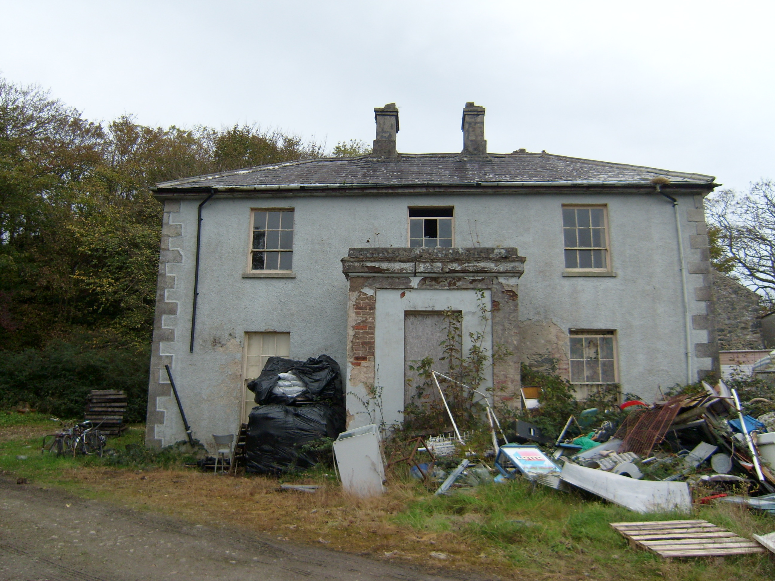 Ardnadrean Rectoryrectory/glebe/vicarage/curate's house · 562 yd
 Castle Bawne (in Ruins)Bawn · 600 yd
 Gortahork Inland Promontory FortPromontory fort, inland · 1660 yd
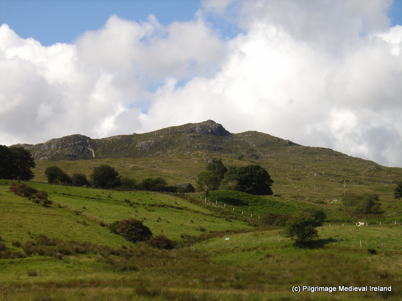 St. Columbkilles WellHoly well · 1720 yd
 Monterey CypressMonterey Cypress · 1.5 mi
 Wych ElmWych Elm · 1.6 mi
 MagheraroartyOfficial bathing water · 2.0 mi
 Trá Dhroim na TineBeach / strand · 2.1 mi
 Inis Bó FinneIsland · 3.6 mi
 Oileán DúicheIslet · 4.3 mi
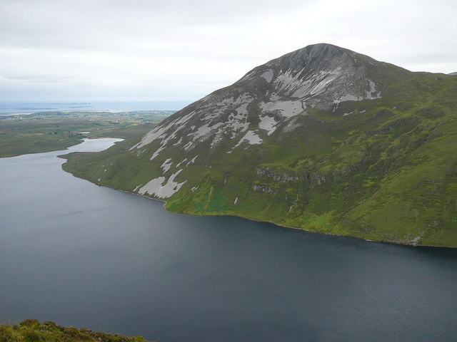 Aghla MoreMountain / peak · 5.2 mi