What is recorded here
Towards the E end of Gowran, on the N side of Main Street. A building annotated, ‘The Forge’ is indicated at this location on White’s map of Gowran, 1710/11. Though the map is early 18th century in date, it is likely that the forge dated to, at least, the 17th century. A two-storey four-bay house with three chimneys appears to occupy the location of the forge.
The monument record does not grant public access. Check the route and ask the landowner before entering private land.
- What survives
- Recorded monument
Places near here
 Gowran Courthousecourt house · 48 yd
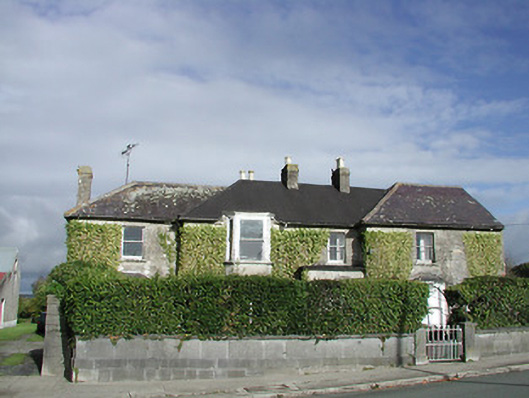 Gowran Househouse · 71 yd
 IndicatedTown defences · 155 yd
 Font in GowranFont · 172 yd
 Castle (Site of)Castle, unclassified · 250 yd
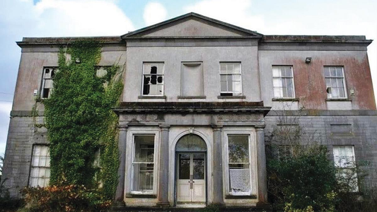 Bawn in Gowran DemesneBawn · 687 yd
 HawthornHawthorn · 3.3 mi
 The Pey FieldForest · 3.3 mi
 Tullaherin Church and Round TowerVisitor information · 4.5 mi
 St. Mogarra’s WellSpring · 4.6 mi
 Kilbline GraveyardArchaeological place · 5.4 mi
 Time CapsuleMemorial · 5.6 mi