What is recorded here
Foreshore wreck in Strangford Lower is a twentieth-century marine loss buried beneath the tidal mud of County Down. The sea gives the hull back only at lowest spring tide, when black timber and rusted iron protrude through the silt like broken ribs. Maybe a fishing boat struck an unseen rock during a storm, or perhaps a cargo vessel drifted after engine failure. The water took the metal and memory together, leaving behind a temporary skeleton that reappears whenever the tide pulls far enough north.
The official Northern Ireland record identifies this as Foreshore wreck. Recorded period: C20TH. The official map point was placed at the centre of the recorded archaeological site from the source map reference.
The monument record does not grant public access. Check the route and ask the landowner before entering private land.
- What survives
- Recorded monument
Places near here
 Cranes' CornerHeadland · 458 yd
 Boat HouseBoat House · 476 yd
 QUAY in CastlewardQUAY · 479 yd
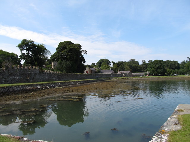 STONE QUAY in CastlewardSTONE QUAY · 681 yd
 TOWER-HOUSE: OLD CASTLE WARD in CastlewardTOWER-HOUSE: OLD CASTLE WARD · 765 yd
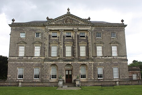 Castle WardCastle · 766 yd
 TOWER-HOUSE AND BAWN: AUDLEY'S CASTLE in CastlewardTOWER-HOUSE AND BAWN: AUDLEY'S CASTLE · 796 yd
 Audley's CastleHeritage attraction · 814 yd
 Strangford Presbyterian ChurchChurch · 898 yd
 Audleystown WoodWood · 1014 yd
 Swan IslandIslet · 1023 yd
 Castle Ward ForestForest · 1.1 mi