What is recorded here
According to the Urban Survey of Westmeath (Bradley et. al. 1985, 113-14), 'Mullingar, the county town of Westmeath, is situated in low-lying ground on the River Brosna between Lough Owel and Lough Ennell. In many medieval documents the name is prefixed by Ad- or Ath-, indicating that the town stood on an important ford (WM019-089014-)'. The Irish Historic Towns Atlas of Mullingar places the fording point to the SE of the motte castle (WM019-089005-) in an area where the Bleach Yard road [Ballinderry Road] crosses the River Brosna. This fording point is shown on Richards map of Mullingar dating from 1691 (Andrews and Davies 1992, 2).
Compiled by: Caimin O'Brien
Date of upload: 27 June 2014
The monument record does not grant public access. Check the route and ask the landowner before entering private land.
- What survives
- Recorded monument
Places near here
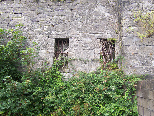 prison/jailprison/jail · 86 yd
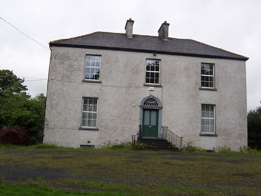 The Rectoryrectory/glebe/vicarage/curate's house · 91 yd
 Petits Castle Mote & Mill (Site of)Castle, unclassified · 121 yd
 Priests WellHoly well · 240 yd
 IndicatedEcclesiastical enclosure · 261 yd
 Site of CastleCastle, unclassified · 319 yd
 Augustinian Monks Memorial StatueMemorial · 343 yd
 The Chimera GalleryGallery · 396 yd
 Famine MemorialMemorial · 429 yd
 Mullingar Cathedral MuseumMuseum · 674 yd
 Saint Brigid's WellSpring · 1.9 mi
 Lady's IslandWood · 2.9 mi