What is recorded here
Described in the Civil Survey (1654-6) as ‘a small foord called Cearryfallagha, mearing between the lands of Tully, and Crannalagh’ (Simington 1961, vol. 10, 45) and also as ‘the foard called Garretullaha’ (ibid., 47). It was located somewhere along a small stream that forms the boundary between the townlands of Kilcourcey and Tully but its precise location has not been identified.
Compiled by: Caimin O'Brien
Date of upload: 10 April 2012
The monument record does not grant public access. Check the route and ask the landowner before entering private land.
- What survives
- Recorded monument
Places near here
 BarrowBarrow, ring-barrow · 751 yd
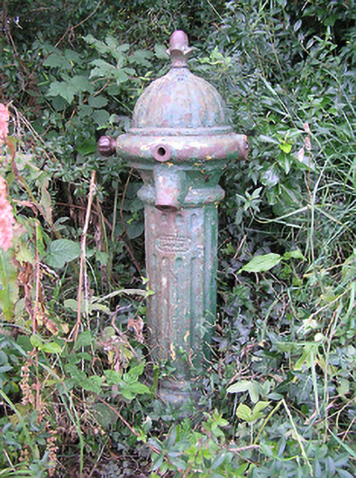 water pumpwater pump · 1204 yd
 IndicatedEnclosure · 1445 yd
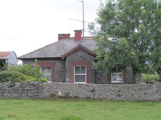 worker's house, houseworker's house, house · 1646 yd
 CastleCastle, unclassified · 1.4 mi
 Moat & FortCastle, motte and bailey · 1.6 mi
 Edgeworthstown BypassMemorial · 2.6 mi
 Clonfin Ambush MemorialMemorial · 3.0 mi
 Cloonfin WoodForest · 4.3 mi
 Granard MotteMotte-and-bailey castle remains · 4.7 mi
 1798 Monumentmonument · 4.8 mi
 Ballinalee Forest WalkForest · 5.2 mi