What is recorded here
The castle (RO056-011001-) is situated on the callows or flood-plain on the W bank of the River Shannon, about 30m from the river, at a place known locally in 1955 as Keena's Ford (SMR file). The road (RO056-008----) from Falia eastwards through Cloonburren, which is marked on the Strafford map of c. 1636 (Simington 1949, Moycarn) may have terminated here. This may be the ford of Ballagha, described as two miles below the Seven Churches by a Col. Roy, probably in 1766 (RIA ms. G. 1. 2). It has also been identified as one of the fords known as Snámh dá eán (Swim two birds) and it is thought locally that Brian Boru met the High King, Mealshachlain, here at a Rigdál or Royal conference in AD 997 to conclude an alliance against the Vikings and the Leinstermen (Grenham 2000). The ford connects the townland of Cloonburren in Co. Roscommon to Creevagh in Co. Offaly, but its precise location is not known.
Compiled by: Michael Moore
Date of upload: 24 August 2010
The monument record does not grant public access. Check the route and ask the landowner before entering private land.
- What survives
- Recorded monument
Places near here
 CastleCastle, unclassified · 187 yd
 Devenish IslandIsland · 717 yd
 Cloonburren MoteCastle, motte and bailey · 1329 yd
 Field system in ClorhaneField system · 1479 yd
 Hut site in ClorhaneHut site · 1666 yd
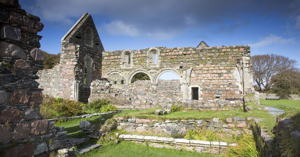 Religious house nunneryReligious house nunnery, unclassified · 1.1 mi
 HawthornHawthorn · 1.5 mi
 RoadRoad, class 1 togher · 1.7 mi
 Graveyard in ClonmacnoiseGraveyard · 1.9 mi
 ClonmacnoiseMuseum · 2.0 mi
 Long IslandIsland · 2.0 mi
 Man-made underground passage in CreevaghMan-made underground passage · 1729 yd