
What is recorded here
This site (L 235m; Wth 1.29m; D 0.09m) is orientated E-W and appears to extend from Leitra bog island to a gravel knoll in the bog. It was recorded over several fields but in some it has been destroyed. It varies in construction along its length. At one sighting it consists of a possible hurdle panel of hazel brushwood (diam. 0.01.5-0.032m) and at another location it is composed of longitudinal birch roundwoods.
Compiled by: Irish Archaeological Wetland Unit (University College Dublin).
Date of upload: 23 May 2011
This remains an important historical record, but the official description says the monument is no longer visible or has been destroyed. The monument record does not grant public access. Check the route and ask the landowner before entering private land.
- What survives
- No visible remains or recorded as destroyed
Places near here
 Leitra CastleCastle, unclassified · 725 yd
 StructureStructure, peatland · 982 yd
 Children's burial ground in ClorhaneChildren's burial ground · 1421 yd
 Devenish IslandIsland · 1.5 mi
 CastleCastle, unclassified · 1.7 mi
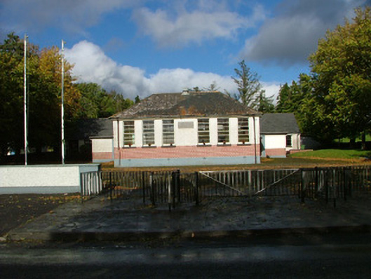 Oliver Plunkett National Schoolschool master's house · 1.8 mi
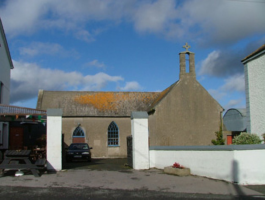 Saint Kieran's Catholic Churchchurch/chapel · 1.9 mi
 Long IslandIsland · 2.1 mi
 Shannonbridge - Nearby AttractionsVisitor information · 2.1 mi
 HawthornHawthorn · 2.2 mi
 Graveyard in ClonmacnoiseGraveyard · 2.5 mi
 ClonmacnoiseMuseum · 2.6 mi
Other information
Photo: Credit not shown in the picture search · Rights wording not checked; contact us if this picture should be removed