What is recorded here
Described in the Civil Survey (1654-6) as 'the foord of Ballavullin [Ballywillin]' (Simington 1961, vol. 10, 45). This ford appears to have been located on the E edge of the medieval barony of Granard. The present road bridge over the river, which crosses the county boundary between Longford and Cavan, connecting Granard to Ballyjamesdfuff, may have been built on its site.
Compiled by: Caimin O'Brien
Date of upload: 10 May 2012
The monument record does not grant public access. Check the route and ask the landowner before entering private land.
- What survives
- Recorded monument
Places near here
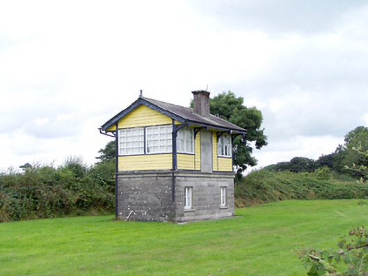 Ballywillin Railway Stationsignal box · 607 yd
 IndicatedCrannog · 1030 yd
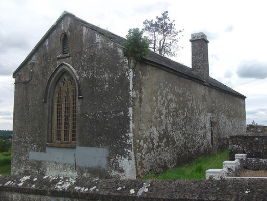 Drumloman Church of Ireland Churchchurch/chapel · 1249 yd
 CarrickabaneMountain / peak · 1542 yd
 Enclosure in SpringtownEnclosure · 1715 yd
 CarrickMountain / peak · 1.3 mi
 Carrick RockWood · 1.5 mi
 Moynagh Upper ForestForest · 1.6 mi
 Watty's RocksIslet · 1.7 mi
 Sporting RockIslet · 1.8 mi
 Togher CastleCastle · 3.0 mi
 IdicatedCastle, unclassified · 3.1 mi