What is recorded here
The name 'Ballyragget' translates in Irish as Béal Átha Ragad [https://www.logainm.ie/en/26513?s=Ballyragget]. According to Carrigan (1905, vol. 2, 90), the name means, 'Ragget's ford or ford-mouth' and 'as early as 1220, the Anglo-Norman, Richard le Ragged, held lands close to the church or chapel of Tulachbarri, and these lands may be quite safely identified with those on which the town of Ballyragget now stands'. It seems likely that the fording place over the River Nore was at the wide but shallower stretch of the river immediately W of the town, which was subsequent superseded by a bridge (KK010-139001-).
Compiled by: Jean Farrelly
Date of upload: 23 January 2019
The monument record does not grant public access. Check the route and ask the landowner before entering private land.
- What survives
- Recorded monument
Places near here
 Ballyragget Br., Ballyragget,parksgroveBridge · 1 yd
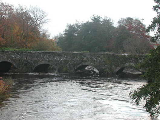 Ballyragget Bridgebridge · 10 yd
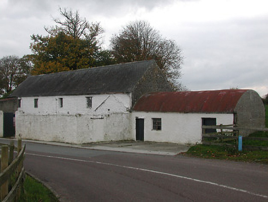 mill (water), Ballyraggetmill (water) · 150 yd
 Ballyragget Cas., BallyraggetCastle, tower house · 424 yd
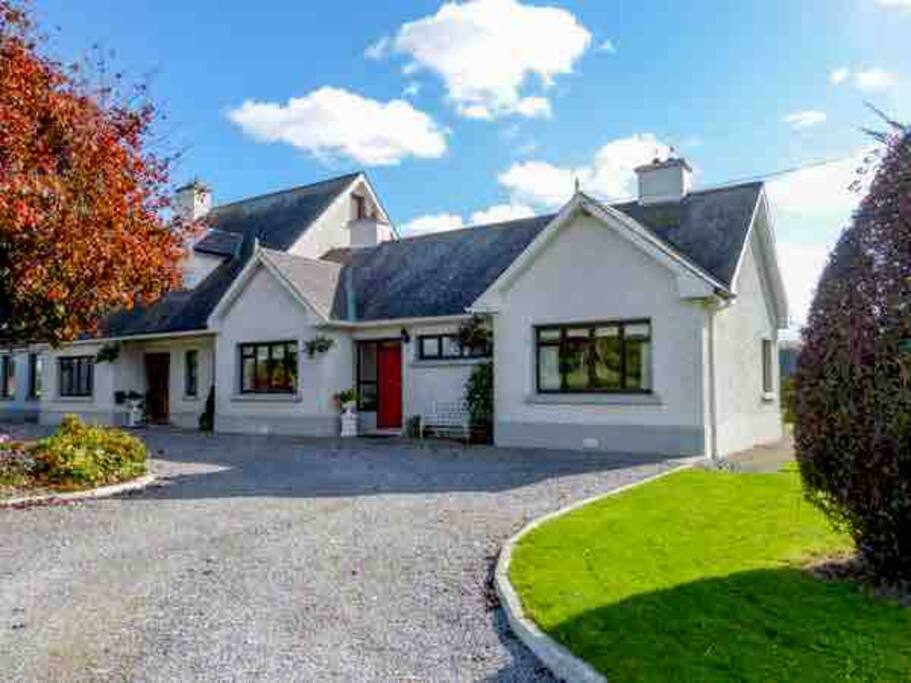 Enclosure in BallyraggetEnclosure · 690 yd
 Donaghmore WellSpring · 1.1 mi
 Moat Castle (site of)Archaeological place · 1.2 mi
 Anker's IslandIsland · 1.9 mi
 Emma Jane Browne-ClaytonMemorial · 4.5 mi
 Red horse-chestnut, The Square, Co. KilkennyRed horse-chestnut · 4.5 mi
 Freshford LoopWalking route · 5.0 mi
 The PondsForest · 5.1 mi