What is recorded here
In the former demesne of Ballyragget Lodge, under tillage. A circular enclosure (diam. c. 18m) identified as a cropmark on Google Earth Pro imagery (imagery date 28 June 2018) by Jean-Charles Caillère. The E quadrant of this enclosure is truncated by a road running N-S. A narrow band (Wth c. 10m) of trees, planted along the W side of the road, are indicated on the 1st and revised ed. OS 6-inch map and, though now removed, would have cut across the E half of the enclosure.
See attached photograph:
KK010-196----_01 Image ©2019 CNEW/Airbus: Google Earth Pro satellite imagery (28 June 2018)
Compiled by: Jean Farrelly
Date of upload: 16 December 2019
The monument record does not grant public access. Check the route and ask the landowner before entering private land.
- What survives
- Recorded monument
Places near here
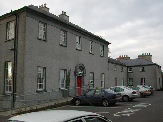 Ballyragget Lodgehouse · 296 yd
 vent pipevent pipe · 316 yd
 Ballyragget Cas.Castle, tower house · 373 yd
 QuarryEnclosure · 976 yd
 Donaghmore WellSpring · 1313 yd
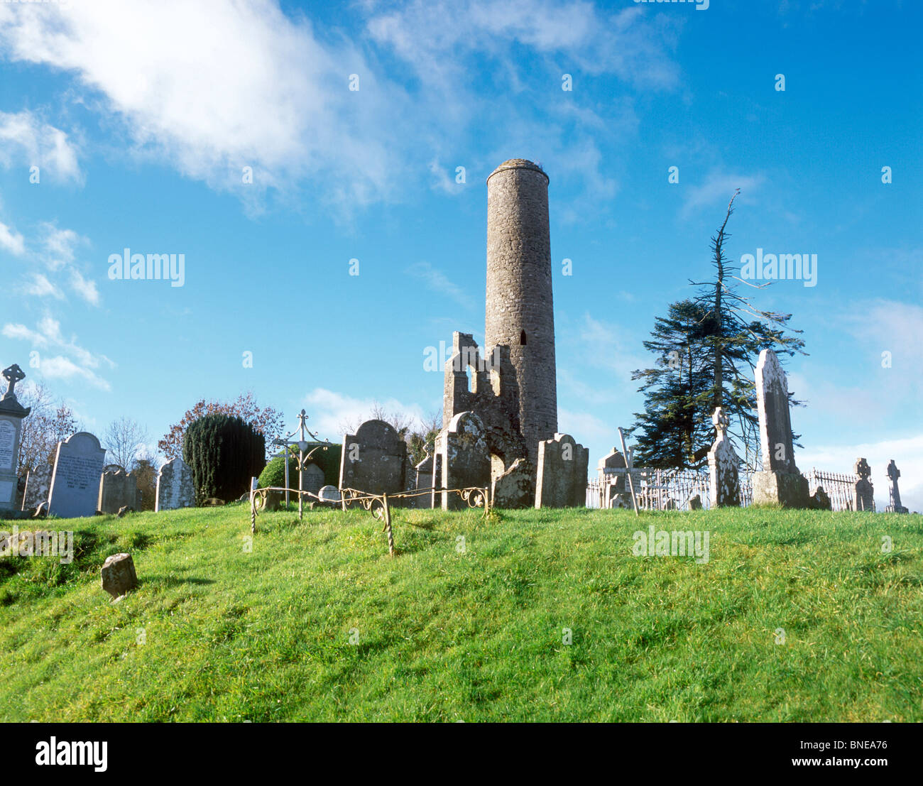 Enclosure in Donaghmore (fassadinin By.)Enclosure · 1324 yd
 Moat Castle (site of)Archaeological place · 1.4 mi
 Graveyard in SraleaghGraveyard · 1.5 mi
 Anker's IslandIsland · 2.2 mi
 Emma Jane Browne-ClaytonMemorial · 4.5 mi
 Red horse-chestnutRed horse-chestnut · 4.5 mi
 Freshford LoopWalking route · 5.0 mi
Other information
Photo: Credit not shown in the picture search · Rights wording not checked; contact us if this picture should be removed