What is recorded here
Marked as 'Foot Br.' on the OS 1st ed. 6-inch map (surveyed 1841) and as 'F.B' indicating a foot bridge on the latest edition. The remains of this clapper bridge still exist (pers. comm. D. Lucey).
The attached image is uploaded courtesy of D. Lucey.
Compiled by: Paul Walsh
Date of upload: 19 July 2013
The monument record does not grant public access. Check the route and ask the landowner before entering private land.
- What survives
- Recorded monument
Places near here
 Mullinhassig WoodWood · 323 yd
 Mullinhassig WaterfallWaterfall · 476 yd
 Burial GroundBurial ground · 869 yd
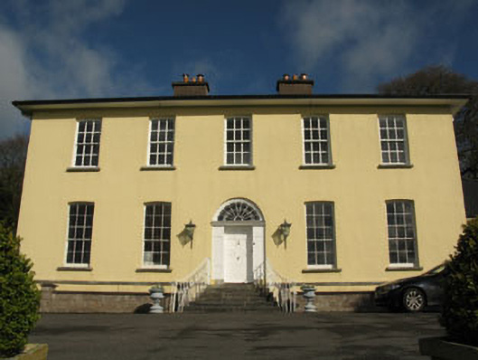 Aghavrin Househouse · 1174 yd
 Rock GroveCountry house · 1276 yd
 Mass-rock in AghavrinMass-rock · 1280 yd
 Leap WoodWood · 1.5 mi
 Carrigadrohid Castle InfoVisitor information · 2.0 mi
 Carrigadrohid CastleHeritage attraction · 2.0 mi
 Carrigadrohid Castle (in Ruins)Castle, tower house · 2.0 mi
 Sunday's WellSpring · 3.1 mi
 Carrignamuck Tower HouseCastle · 3.2 mi