What is recorded here
Situated on low lying marshy land which rises to the N and E. Depicted as ‘Fooraun Well’ on the 1837 ed. OS 6-inch map. A rectangular-shaped hole containing stagnant water with a heavy growth of rushes and reeds, enclosed by a barbed-wire fence. An overgrown stream runs SE from the well.
Compiled by: Frank Coyne & Caimin O'Brien
Date of upload: 26 January 2017
The monument record does not grant public access. Check the route and ask the landowner before entering private land.
- What survives
- Recorded monument
Places near here
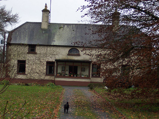 Derrydooan Househouse · 758 yd
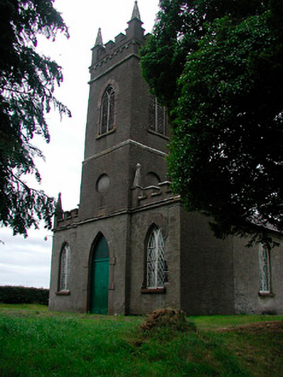 Saint Thomas's Church (Rathaspick)church/chapel · 834 yd
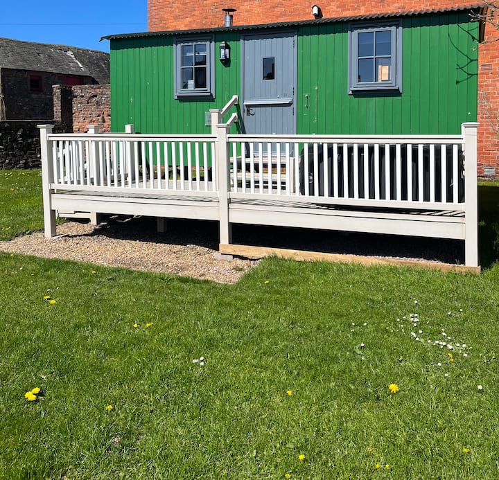 Hut site in ClonaboyHut site · 944 yd
 Silver FirSilver Fir · 1656 yd
 OutlinedFairy fort / earthen ringfort · 1.0 mi
 Site of CastleCastle, unclassified · 1.2 mi
 Sweet ChestnutSweet Chestnut · 1.2 mi
 CastleCastle, motte · 1.3 mi
 Edgeworthstown BypassMemorial · 4.2 mi
 Granard MotteMotte-and-bailey castle remains · 8.6 mi
 1798 Monumentmonument · 8.7 mi
 Bully's Acregraveyard/cemetery, unknown · 10 mi