What is recorded here
On a slight natural rise of ground in undulating countryside with good views in all directions. Located 180m E of the Pass of Kilbride. Church (WM034-002001-) in centre of graveyard (WM034-002003-) with St. Bridget’s Well (WM034-001----) 70m to the N and motte castle (WM034-003----) 90m to the SSE. A defaced square-shaped font (H 0.75m; Wth 0.53m) with inverted pyramidal shaped-base carved from a single piece of stone has been cemented into the surface of the graveyard (WM034-002003-) presumably at the same time as the church walls were rebuilt in 1991. The font with circular flat-bottomed bowl (D 0.2m; base diam. 0.41m) is located a few metres SE of the gap located in the S wall of the church.
Compiled by: Caimin O’Brien
Date of upload: 29 July 2013
The monument record does not grant public access. Check the route and ask the landowner before entering private land.
- What survives
- Recorded monument
Places near here
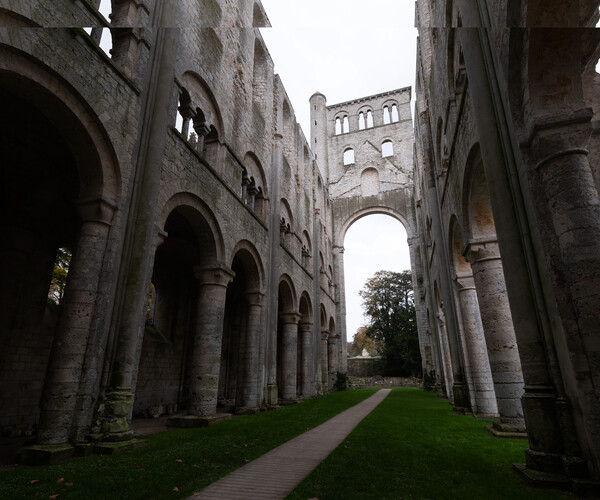 Abbey RuinsChurch · 8 yd
 St. Bridgets WellHoly well · 97 yd
 Moat of PassCastle, motte · 111 yd
 Fairy fort / ringfort in Pass OF KilbrideFairy fort / ringfort · 1175 yd
 Site of CastleCastle, unclassified · 1464 yd
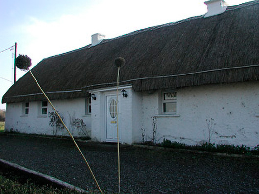 farm housefarm house · 1759 yd
 Derrygreenagh HillMountain / peak · 4.0 mi
 Knockdrin HillMountain / peak · 4.1 mi
 Roundhill WoodForest · 7.6 mi
 Rahin WoodsForest · 7.9 mi
 Croppies' GraveMemorial · 9.3 mi
 Allen family memorial headstoneMemorial · 13 mi