What is recorded here
Naas East is the named place and Font in Naas East is the named feature. The result is a visible local anchor rather than a deleted one.
According to Bradley et al. (1986 vol. 4, 363), an undecorated, almost circular granite basin (diams. 0.68m; 0.62m; H 0.32m), lacking a drain hole, lies against the N wall of St. David's Church (KD019-030020-).
Compiled by: Gearóid Conroy
Date of upload: 10 June 2011
The monument record does not grant public access. Check the route and ask the landowner before entering private land.
- What survives
- Recorded monument
Places near here
 Saint David's Church (Naas)church/chapel · 10 yd
 Church in Naas EastChurch · 11 yd
 CastleCastle, tower house · 68 yd
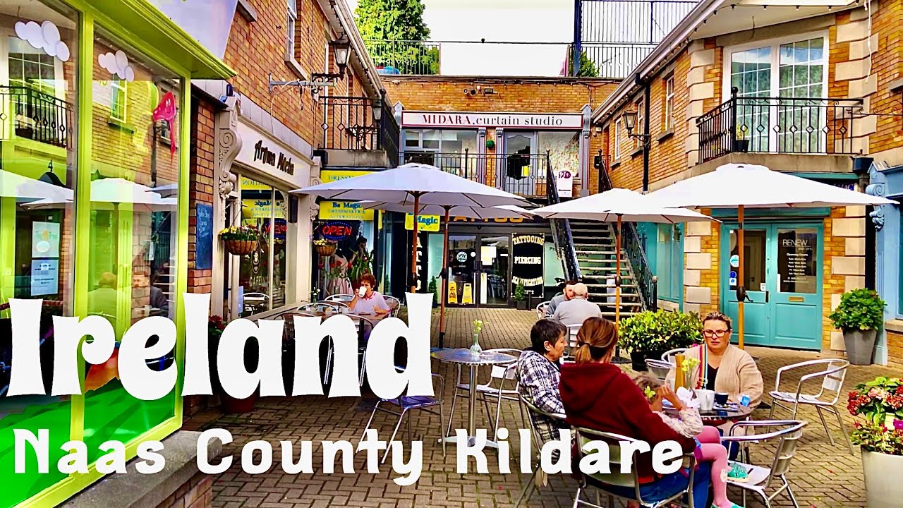 Not indciatedTown defences · 80 yd
 Site of Black CastleCastle, unclassified · 92 yd
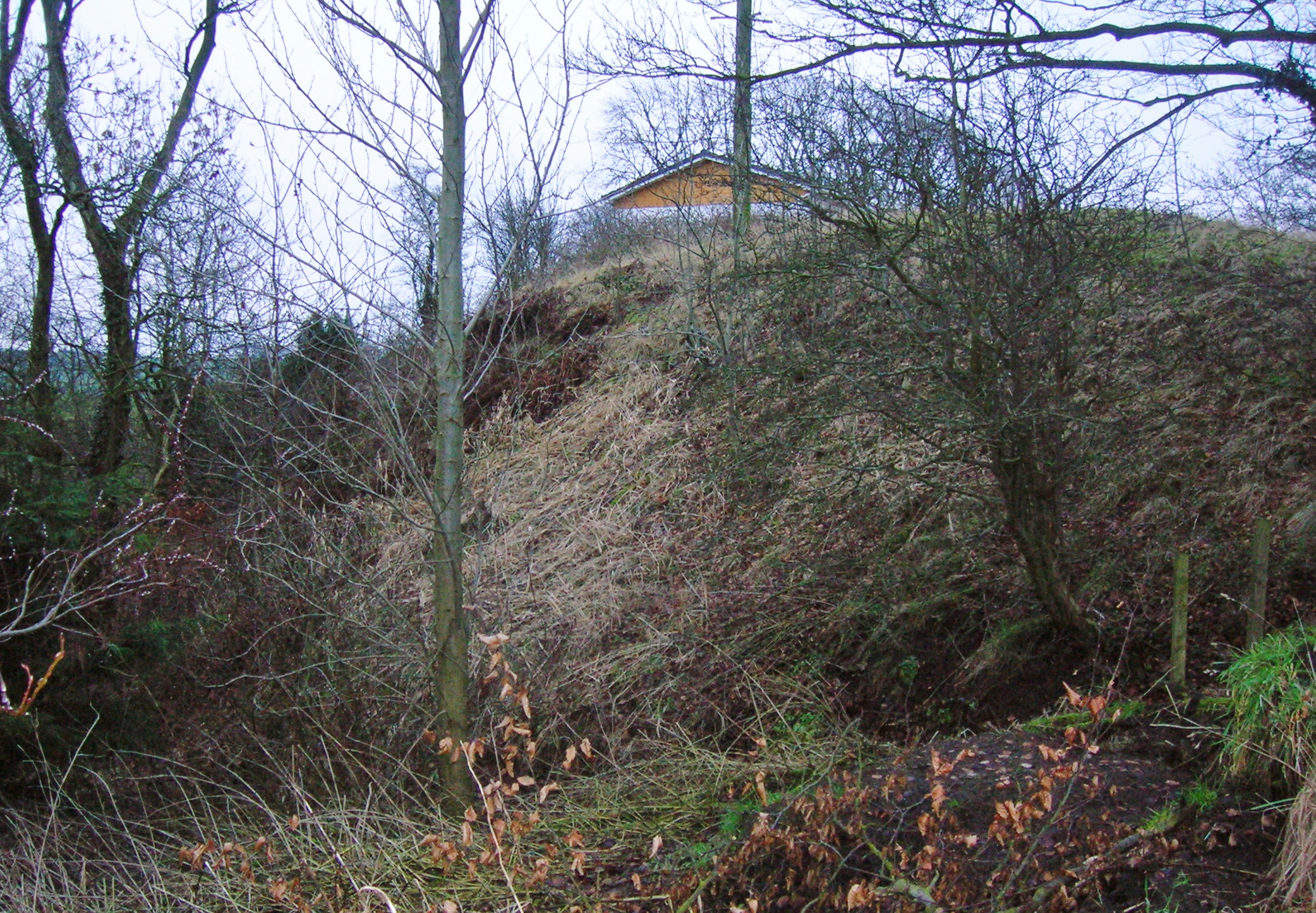 North MoteArchaeological place · 178 yd
 Poplar SquarePicnic place · 200 yd
 Monread District Park WoodsWood · 1657 yd
 Naas ParkWood · 1.0 mi
 Museum of MotorsportMuseum · 4.3 mi
 Cupidstown HillMountain / peak · 6.9 mi
 Athgoe HillMountain / peak · 7.8 mi