What is recorded here
Stone trough or possible font (dims. L 0.75m x W 0.65m x H 0.44m) found during conservation works, it was partly buried in the ground inside the W wall of Kilteel graveyard (KD020-007010-) (Manning 1981-82, 203). Manning (ibid.) suggested that this granite stone was a possible farmyard trough of uncertain date, but could have been a crude font. The stone was a water outlet at one side of the stone and not in the centre of the base which is normal location on medieval fonts.
Compiled by: Caimin O'Brien
Date of upload: 31 October 2019
The monument record does not grant public access. Check the route and ask the landowner before entering private land.
- What survives
- Recorded monument
Places near here
 Church (in Ruins)Church · 7 yd
 Ecclesiastical enclosure in Kilteel UpperEcclesiastical enclosure · 36 yd
 Kilteel CastleCastle, tower house · 226 yd
 Stone CrossCross, High cross · 235 yd
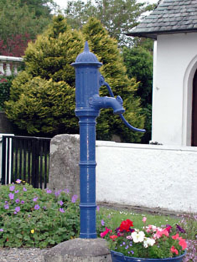 water pumpwater pump · 387 yd
 Kilteel WoodWood · 739 yd
 Cupidstown HillMountain / peak · 1.3 mi
 Rathmore MoatCastle, motte and bailey · 1.9 mi
 Saggart HillMountain / peak · 2.2 mi
 Rock WoodForest · 3.3 mi
 Inniscara GalleryGallery · 4.0 mi
 The Square RenewalMemorial · 4.2 mi