
What is recorded here
Visible on aerial photographs taken in 1963 (CUCAP AIG064) and 1966 (CUCAP APA056/API002). Occupying both the moderately steep, SE-facing, pasture slope of a minor valley and the level valley floor, through which a small stream (now dried up) flowed SW, and overlooked by slightly higher ground WSW-N-NE. A series of low earthen banks and associated shallow fosses extends over a large, roughly rectangular area (est. dims. L c. 350m NW-SE; Wth c. 300m NE-SW) on the site of 'Cell céli críst' (KD020-007002-) an early monastery where a preceptory of Knights Hospitallers of St John of Jerusalem (KD020-007003-) was subsequently founded in the 13th century, and immediately to the S and W of which a section of the Pale Boundary runs (KD020-008----). While the existence of an enclosure around the early monastery is to be expected, there is no obvious visible surface trace of one, the visible earthworks being mainly rectilinear in outline and probably the result of the very extensive medieval activity on the site; including a large rectangular enclosure which is presumably associated with the preceptory. (Manning 1982, 213, 219)
Compiled by: Gearóid Conroy
Date of upload: 10 June 2011
A local fairy fort (ringfort/rath); wider significance not recorded.
The monument record does not grant public access. Check the route and ask the landowner before entering private land.
- What survives
- Recorded monument
Places near here
 Church (in Ruins)Church · 40 yd
 Kilteel CastleCastle, tower house · 192 yd
 Stone CrossCross, High cross · 199 yd
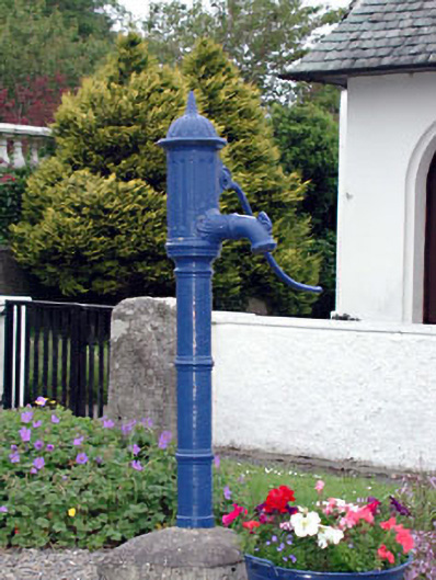 water pumpwater pump · 368 yd
 Kilteel WoodWood · 703 yd
 Cupidstown HillMountain / peak · 1.3 mi
 IndicatedCairn, unclassified · 1.4 mi
 Rathmore MoatCastle, motte and bailey · 1.9 mi
 Saggart HillMountain / peak · 2.2 mi
 Rock WoodForest · 3.3 mi
 Inniscara GalleryGallery · 4.0 mi
 The Square RenewalMemorial · 4.2 mi
Other information
Photo: Credit not shown in the picture search · Rights wording not checked; contact us if this picture should be removed