What is recorded here
Glassavullaun font stands in Kilmasantan graveyard beside the River Dodder, its square basin and small drain hole surviving from the medieval church that belonged to the See of Dublin. It is large enough to hold a child’s baptism or a village ceremony, yet worn and damaged like every place where water, hands and time kept returning. The similar font at St. Maelrauns in Tallaght suggests a shared craft, while the damaged face keeps the story open: some ceremonies were urgent, some witnesses are lost, and the church still gives the valley its shape.
Situated in Kilmasantan (St Ann's) graveyard (DU025-033002-) on the N bank of the River Dodder. A font located to the N of the gate inside the graveyard. This large medieval font (ext. H 0.75m; etx. diam. 0.92m; rim T 0.12-0.09m) has a roughly square-shaped basin (D 0.27-0.29m; Wth 0.74-0.45m) with rounded corners and a drain hole (diam. 0.03m) in the SW corner. The E face is damaged. It is similar to the font (DU021-037009-) at St. Maelrauns in Tallaght. Also within the graveyard is a church (DU025-033001-). In 1179 this church and its lands were a sub-manor of Tallaght and part of the extensive church lands of the See of Dublin. This manor occupied the upper eastern Dodder Valley (Nolan 1992, 185).
To see a 3D model of the font visit: https://skfb.ly/oEypG
Compiled by: Geraldine Stout and Padraig Clancy
Revised by: Caimin O'Brien
Date of revised upload: 10 march 2023
The monument record does not grant public access. Check the route and ask the landowner before entering private land.
- What survives
- Recorded monument
Places near here
 (Site of) St Anns ChapelEcclesiastical site · 4 yd
 Saint Ann's GraveyardRuins · 11 yd
 Saint Santans ChurchRuins · 18 yd
 Saint Ann's WellSpring · 214 yd
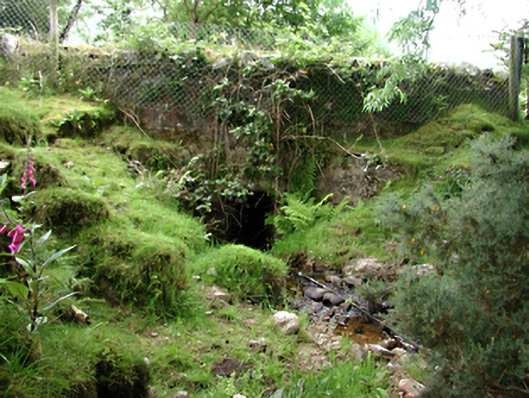 bridgebridge · 717 yd
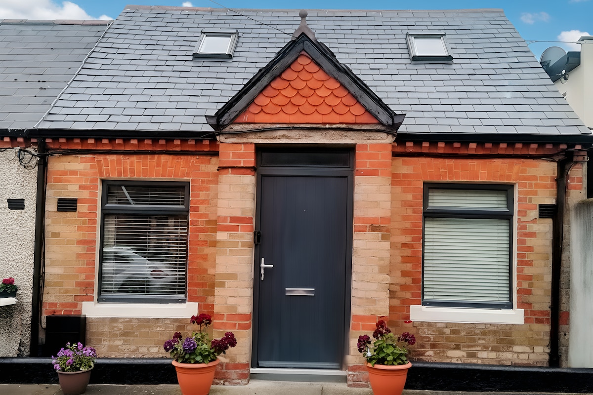 Habitation site in PiperstownHabitation site · 1054 yd
 SpinkeenMountain / peak · 1097 yd
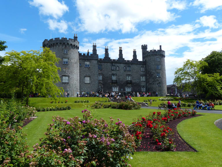 CastleCastle, unclassified · 1198 yd
 Ballymorefinn HillMountain / peak · 1.0 mi
 Featherbed ForestForest · 1.0 mi
 Dublin Mountains Way - Hellfire & Massey spurWalking route · 1.4 mi
 Ballinascorney WoodForest · 1.4 mi