
What is recorded here
According to the OS letters of 1838-40 ‘There is a large roundish rock (WI024-016---) in the townland of Coolnakill twenty one feet in circumference and about eighteen inches in height, having an oval bason sunk in the top towards the south side, measuring nineteen inches one way, fifteen the other and ten inches in…
Read the whole record
From the National Monuments Service (Archaeological Survey of Ireland) record WI024-016003
Places near here
Photo credits
- Maker not stated on source page, www.pinterest.com
- Maker not stated on source page, visitwicklow.ie
- Maker not stated on source page, www.dreamstime.com
- Maker not stated on source page, ru.dreamstime.com
- Maker not stated on source page, monumentalireland.ie
- Kmcnamee, Wikimedia Commons · CC BY-SA 4.0
- Rafał Wesołowski, Wikimedia Commons · CC BY-SA 4.0
- Sarah777 at English Wikipedia, Wikimedia Commons · Public domain
- Sitomon, Wikimedia Commons · CC BY-SA 2.0
 Bullaun stone in CoolnakillyBullaun stone · 1 yd
Explorer Tom Bullaun stone in Coolnakilly would explain the 1800s to a teenager as 'back when rocks were just rocks and we didn’t…
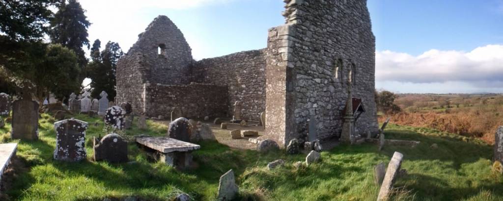 Church in CoolnakillyChurch · 1 yd
Explorer Tom Church in Coolnakilly would write 'seeking stone partner' on its dating profile immediately. It’s got a basin built…
 Graveyard in CoolnakillyGraveyard · 1 yd
Explorer Tom Graveyard in Coolnakilly has so many old names it’s given up on being anything other than a confused jumble of history…
 Holy well in BallymacsimonHoly well · 1230 yd
Explorer Tom Holy well in Ballymacsimon has a long-standing grudge against the weather, probably because it gets too much attention…
 CastleCastle, motte · 1289 yd
Explorer Tom Castle in Ballymoat was a large moate that got carried away for agriculture, which is basically someone’s escape plan…
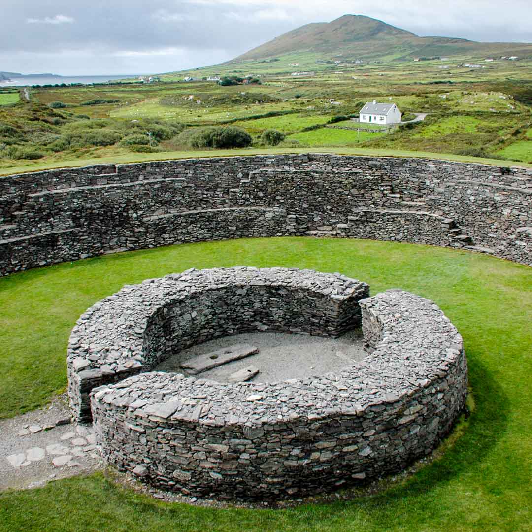 Fairy fort / earthen ringfort in Keeloge,keeloge Lower,keeloge Upper,keelogesFairy fort / earthen ringfort · 1.0 mi
Explorer Tom Fairy fort / earthen ringfort in Keeloge is sitting there, probably guarding a hidden treasure that is definitely just…
 Glenealy GAAGAA ground · 1.1 mi
 Glenealy graveyardCemetery · 1.1 mi
Explorer Tom Glenealy graveyard is incredibly proud of its single, perfectly balanced stone that defies gravity and physics in a way…
 Graveyard in BallymoatGraveyard · 1.1 mi
Explorer Tom Graveyard in Ballymoat is where two feuding families once argued over who got the best view from their graves, a debate…
 Saint Joseph's Catholic ChurchChurch/chapel · 1.1 mi
Explorer Tom Saint Joseph's Catholic Church in Ballymanus Lower is a well preserved substantially original later nineteenth-century…
 Carrick MountainMountain / peak · 1.3 mi
Explorer Tom Carrick Mountain is locked in a dramatic argument with the nearest tree, which refuses to acknowledge its towering…
 European Yew1.6 mi
Explorer Tom European Yew in County Wicklow ended up here because its original owner got drunk and took a wrong turn near the…
More archaeology and monuments in County Wicklow · All of County Wicklow

What do you know about this place?Tap to add a comment or ask a question