What is recorded here
Bryan O'Neill's Well drops into the Antrim earth, marking a forgotten life in stone and water. The name suggests a man strong enough to carve his identity into the landscape, perhaps digging through resistant rock until clean water finally sang back. Local memory preserves his effort long after the details faded, turning a simple spring into a measure of human stubbornness.
The official Northern Ireland record identifies this as FOLKLORE SITE - SPRING: BRYAN O'NEILL'S WELL. Recorded period: UNCERTAIN. The official map point was placed at the centre of the recorded archaeological site from the source map reference.
The monument record does not grant public access. Check the route and ask the landowner before entering private land.
- What survives
- Recorded monument
Places near here
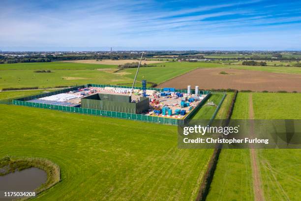 A.P. SITEA.P. SITE, FIELD SYSTEM & D-SHAPED ENCLOSURE · 587 yd
 North Carn ForestForest · 1.2 mi
 A.P. SITE or FARMSTEADA.P. SITE or FARMSTEAD, banked enclosure; field boundaries and house platform. · 1.5 mi
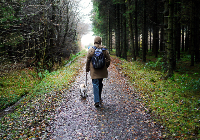 Woodburn ForestForest · 2.3 mi
_-_geograph.org.uk_-_580056.jpg?width=1280) 6 Glenoe VillageHouse · 2.8 mi
6 Glenoe VillageHouse · 2.8 mi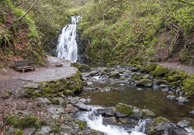 Glenoe WaterfallWaterfall · 2.8 mi
 US RangersMemorial · 3.4 mi
 Carrickfergus Railway StationRailway Station Structures · 3.4 mi
 Siege of Carrickfergussiege · 3.5 mi
 Carrickfergus MuseumMuseum · 3.5 mi
 O'Haughan's CaveCave · 3.6 mi
 FORTIFIED HOUSE built on FRANCISCAN FRIARY: JOYMOUNT in CarrickfergusFORTIFIED HOUSE built on FRANCISCAN FRIARY: JOYMOUNT · 3.6 mi