What is recorded here
In tillage, on E side of stream. Horseshoe-shaped mound of burnt material (L 22m; Wth 30m; H 2m). Depression on SE side due to quarrying.
The above description is derived from the published 'Archaeological Inventory of County Cork. Volume 4: North Cork' (Dublin: Stationery Office, 2000). In certain instances the entries have been revised and updated in the light of recent research.
Date of upload/revision: 14 January 2009
The monument record does not grant public access. Check the route and ask the landowner before entering private land.
- What survives
- Recorded monument
Places near here
 Man-made underground passageMan-made underground passage · 492 yd
 IndicatedEcclesiastical enclosure · 822 yd
 Killleenemer Church (in Ruins)Church · 1057 yd
 Caherdrinny Castle (in Ruins)Castle, tower house · 1.2 mi
 Dunmahon Castle (in Ruins)Bawn · 1.4 mi
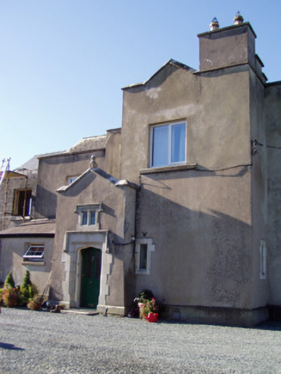 Ballyclogh Housecountry house · 1.5 mi
 FlagCave · 2.2 mi
 St Dominick's WellSpring · 2.2 mi
 Graveyard in BoherashGraveyard · 2.2 mi
 Flat cemetery in Ballyenahan NorthFlat cemetery · 4.3 mi
 Kilclooney WoodWood · 5.9 mi
 Blackwater (Avondhu) WayWalking route · 6.2 mi