What is recorded here
The Down Survey (1655-6) parish map of Urlingford depicts a watermill, annotated ‘a mill in repaire’, on the S bank of River Goul, immediately N of a castle and thatched house. The accompanying terrier records Lord Mountgarrett, Irish Papist, as the proprietor of Urlingford in 1640. The 1st (1839) ed. OS 6-inch map indicates 'Four Mills' on the S bank of the river, immediately N of the tower house and W of the bridge over the river. By the 1900 revision the function has been changed from a mill to a creamery. The stone building at the location appears to be 18th/early 19th century in date, though the ground floor is earlier and may be part of the 17th-century mill.
Compiled by: Jean Farrelly
Date of upload: 10 July 2019
The monument record does not grant public access. Check the route and ask the landowner before entering private land.
- What survives
- Recorded monument
Places near here
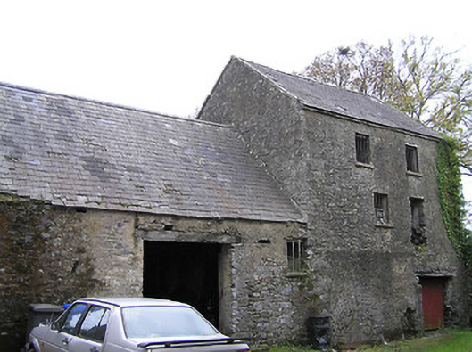 mill (water)mill (water) · 1 yd
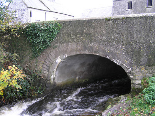 bridgebridge · 21 yd
 CastleCastle, tower house · 30 yd
 TurretBawn · 53 yd
 Enclosure in UrlingfordEnclosure · 1076 yd
 St. Patricks WellHoly well · 1646 yd
 John HelyMemorial · 2.1 mi
 DelaneyMemorial · 2.1 mi
 Clomantagh HillMountain / peak · 3.4 mi
 KilcooleyForest · 3.7 mi
 Kilcooly AbbeyHeritage attraction · 3.8 mi
 Serpentine WoodForest · 3.9 mi