What is recorded here
A mill is indicated roughly at this location on the Down Survey (1655-6) barony map of Sheelogher/‘Sheelelogher’ (Hibernia Regnum, courtesy of Trinity College Dublin). Carrigan (1905, vol. 3, 487) noted that in 1794, 'the tourist Holmes observed at Bennetsbrige, "near the river a small ancient building, now part of a mill". There is a watermill on the W bank of the River Nore indicated as 'Flour Mill' on the 1st (1839) ed. OS 6-inch map which may be on the location of the Down Survey mill. It is shown as a 'Corn Mill' on the 1899-1902 revision of the OS 6-inch map. The building is currently used to produce and sell locally made pottery.
See attached:
KK024-033----_01 extract from the Down Survey (1655-6) barony map of Sheelogher/‘Sheelelogher’ (Hibernia Regnum, courtesy of Trinity College Dublin)
Compiled by: Jean Farrelly
Date of upload: 27 September 2021
The monument record does not grant public access. Check the route and ask the landowner before entering private land.
- What survives
- Recorded monument
Places near here
 mill (water)mill (water) · 1 yd
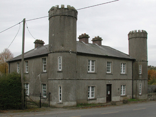 Bennettsbridge Garda Síochána Stationgarda station/constabulary barracks · 181 yd
 Time CapsuleMemorial · 467 yd
 Enclosure in Bennettsbridge (shillelogher By.)Enclosure · 869 yd
 Enclosure in Kilree (knocktopher By.)Enclosure · 1212 yd
 O'Gorman's Lane LoopWalking route · 1225 yd
 Black WalnutBlack Walnut · 1451 yd
 MarlowWood · 1716 yd
 Castle (in ruins)Castle, unclassified · 1.3 mi
 Kilbline GraveyardArchaeological place · 1.7 mi
 Tower (in ruins)Bawn · 1.7 mi
 Kilkenny AirsoftHeritage attraction · 2.0 mi