
What is recorded here
Attached three-bay six-storey flour mill, c.1825, originally detached with eight-bay six-storey side elevations. In use as corn mill, 1899-1902. Extensively renovated, post-1976, with some openings remodelled to accommodate commercial use. Hipped slate roof with clay ridge tiles, and cast-iron rainwater goods on slightly overhanging rendered eaves. Unpainted roughcast lime rendered walls over random rubble stone construction with sections of unpainted replacement cement render, post-1976, throughout. Square-headed window openings in camber-headed recesses with no sills, concealed red brick surrounds, and timber casement windows (some replacement timber casement windows, post-1976). Elliptical-headed door opening inserted, post-1976, with glazed timber double doors having overlight. Interior remodelled, post-1976, with timber floors on cast-iron and/or reinforced concrete posts retaining some early cast-iron machinery. Set back from road in own grounds on bank of River Nore.
A large-scale mill forming an important component of the industrial legacy of Bennettsbridge having historically supported much of the local agricultural economy since the early nineteenth century. Although now accommodating an alternative use the historic character of the building prevails on account of the retention of many of the essential composition attributes while the survival of some early mechanisms identifies the technical engineering heritage significance of the site. Positioned on the bank of the River Nore the mill forms an attractive landmark enhancing the picturesque appeal of the townscape.
This does not grant access. Most recorded buildings are privately owned; view them only from public ground unless the owner allows entry.
Places near here
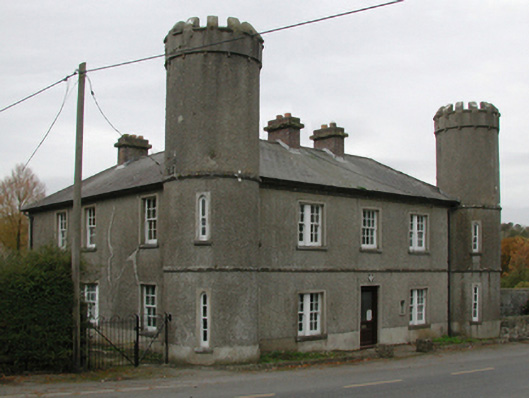 Bennettsbridge Garda Síochána Stationgarda station/constabulary barracks · 182 yd
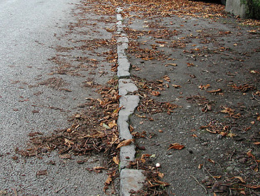 cobbles/flags/paving/kerbingcobbles/flags/paving/kerbing · 284 yd
 Time CapsuleMemorial · 468 yd
 Enclosure in Bennettsbridge (shillelogher By.)Enclosure · 868 yd
 Enclosure in Kilree (knocktopher By.)Enclosure · 1213 yd
 O'Gorman's Lane LoopWalking route · 1225 yd
 Black WalnutBlack Walnut · 1450 yd
 MarlowWood · 1715 yd
 Castle (in ruins)Castle, unclassified · 1.3 mi
 Kilbline GraveyardArchaeological place · 1.7 mi
 Tower (in ruins)Bawn · 1.7 mi
 Kilkenny AirsoftHeritage attraction · 2.0 mi
Other information
Photo: kevin higgins · CC BY-SA 2.0