
What is recorded here
From the Northern Ireland Sites and Monuments Record record DOW011:042
Places near here
Photo credits
- David Smith, Wikimedia Commons · CC BY-SA 2.0
- Ulsterbeef, Wikimedia Commons · CC BY-SA 3.0
- Nigel Thompson, Geograph · CC BY-SA 2.0
- Maker not stated on source page, www.pinterest.com
- Maker not stated on source page, www.goodfon.com
- Maker not stated on source page, www.doc.govt.nz
- Maker not stated on source page, news.sky.com
- Maker not stated on source page, www.flickr.com
- Maker not stated on source page, www.belfastlive.co.uk
 Tir n'an OgCemetery · 1.4 mi
Explorer Tom Tir n'an Og Cemetery in County Down thinks Dublin tourists are all noise and no taste, especially when they take…
'Tir N'an Og' burial groundGraveyard · 1.4 miExplorer Tom Tir N'an Og burial ground at Mount Stewart is where the fancy folks went to nap forever. There's a tall tale about a…
 Sunken GardenGarden · 1.4 mi
Explorer Tom At Mount Stewart, the Sunken Garden is a room without a roof: step down from the house's west terrace and the planting…
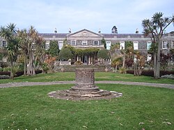 Mount StewartHeritage attraction · 1.5 mi
Explorer Tom Mount Stewart makes politics look tidy from the garden path. Mount Stewart looks across Strangford Lough with the…
 Lake Walk, Mount StewartWalking route · 1.5 mi
Explorer Tom Lake Walk at Mount Stewart had a matchmaker working there who paired off half the village, but I think she mostly just…
 Stone quay in BallyreaghStone Quay · 1.8 mi
Explorer Tom Stone quay in Ballyreagh could teach history lessons if it had a mouth. It’s been there since the post-medieval period…
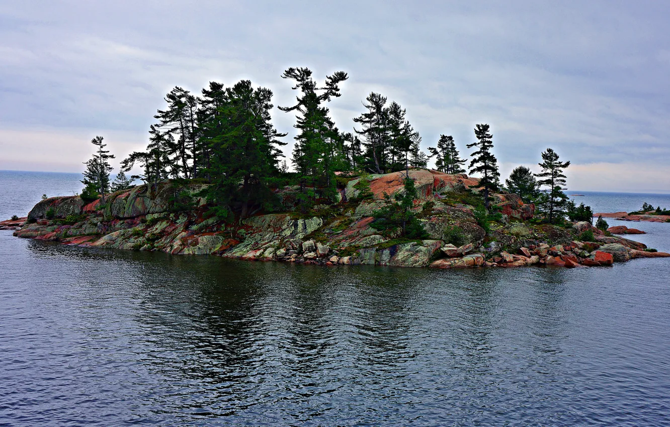 Boretree Island EastIslet · 1.9 mi
Explorer Tom Boretree Island East in County Down is where a local love story went wrong when one partner got stuck on the low-tide…
 Ap site: linear feature in Boretree Island East; Mount StewartAp Site: Linear Feature · 1.9 mi
Explorer Tom Ap site: linear feature in Boretree Island East, Mount Stewart is on an island near Mount Stewart, which sounds fancy…
 Boretree Island WestIslet · 1.9 mi
Explorer Tom Boretree Island West in County Down would last exactly two days on a reality show before it started complaining about…
 Stone wall, former farmstead (possible) in BootownStone wall, former farmstead (possible) · 2.2 mi
Explorer Tom Stone wall, former farmstead in Bootown is 'possible', which means nobody knows what it actually is anymore. A poet…
 Woodland ViewWood · 2.4 mi
Explorer Tom Woodland View is basically the wood that thinks it's a scenic postcard, even though it's just standing there looking…
 Islandreagh WoodWood · 4.0 mi
Explorer Tom Islandreagh Wood has a secret talent for juggling acorns without dropping a single one, which is impressive considering…
More archaeology and monuments in County Down · All of County Down

What do you know about this place?Tap to add a comment or ask a question