What is recorded here
Situated along the shore, just south of, and probably associated with, Merrion Castle. On Barker's 'A Map of Old Merrion and Simmonscourt' of 1862 (NAI MSS. 211/2/2/2) an unusual feature is depicted as a d-shaped enclosure bound by a curving earthwork with one edge defined by the shore. At this location on the first edition of the OS 6 " maps a serpentine 'Fish Pond' is indicated (DU023-001005-).
Uploaded on: 7 April 2020
Compiled by: Margaret Keane
The monument record does not grant public access. Check the route and ask the landowner before entering private land.
- What survives
- Recorded monument
Places near here
 Merrion CastleHouse, 18th century · 91 yd
 Merrion StrandBeach / strand · 264 yd
 Church in Unknown TownlandChurch · 311 yd
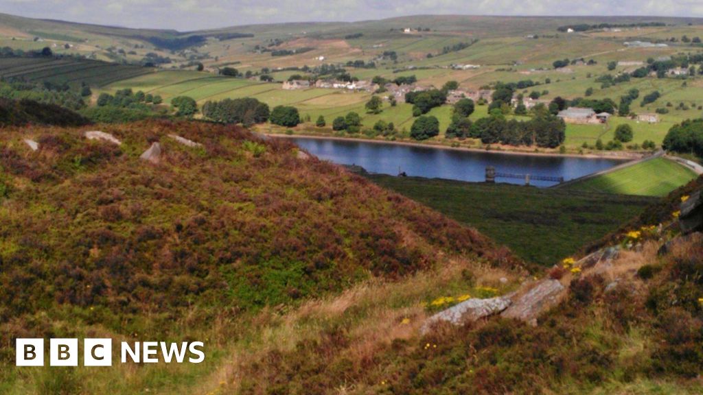 Booterstown Nature ReserveNature reserve · 441 yd
 Booterstown MarshNature reserve · 630 yd
 Blackrock ParkVisitor information · 860 yd
 1916 RisingMemorial · 911 yd
 CastleCastle, tower house · 1233 yd
 UCD DublinVisitor information · 1305 yd
 OutlinedHoly well · 1354 yd
 Martello TowerMartello tower · 1453 yd
 Sandymount StrandBeach / strand · 1696 yd