What is recorded here
Medieval fish-ponds likely sustained Woodstock Castle and the Crutched Friars before drainage or forgetting smoothed their edges. Richard de St. Michael built the castle to watch the River Barrow, giving his household and neighbours a reason to keep live fish in water so close they could have been touched from the bank. The flat land still holds that purpose beneath its grass, waiting for rain to reveal what human hands shaped.
On W edge of flat low-lying poorly drained land which forms part of the flood-plain of the River Barrow which flows 80m to the NE. The religious house (KD035-022006-) of the Crutched Friars founded by Richard de St. Michael in the thirteenth century is 520m to the SSE, also located on the W bank of the River Barrow. A 13th century hall house known as Woodstock Castle (KD035-021----) built by Richard de St. Michael stands on dry ground overlooking the River Barrow to SE and possibly a fording point over the river. A series of linear earthworks forming rectangular features in the poorly drained field to SE on the floodplain of the River Barrow may represent the remains of medieval fish-ponds associated with the adjoining hall house. Alternatively these rectilinear features which are visible on the ground and on aerial photographs may be the remains of post-medieval drainage channels. The 1656 Down Survey map of Kildare depicts a settlement (KD035-021003-) in the form a cluster of buildings standing on the W bank of the River Barrow between Woodstock Castle and the religious house (KD035-022006-) of the Crutched Friars (downsurvey.tcd.ie/down-survey-maps.php#c=Kildare).
Compiled by: Caimin O'Brien
Date of upload: 27 April 2016
The monument record does not grant public access. Check the route and ask the landowner before entering private land.
- What survives
- Recorded monument
Places near here
 Woodstock CastleRuins · 90 yd
 Woodstock Castle (in Ruins)Castle, hall-house · 95 yd
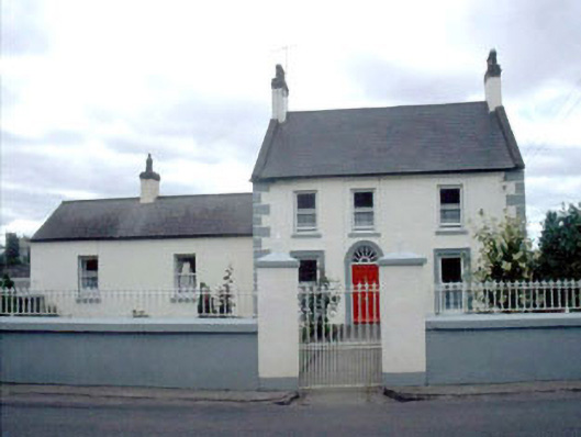 Woodstock Lodgefarm house · 336 yd
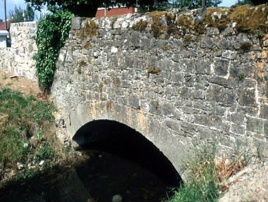 Rathstewart Bridgebridge · 440 yd
 1798 memorialMemorial · 692 yd
 Ernest ShackletonMemorial · 708 yd
 Town HallMuseum · 712 yd
 Enclosure in PrusselstownEnclosure · 1167 yd
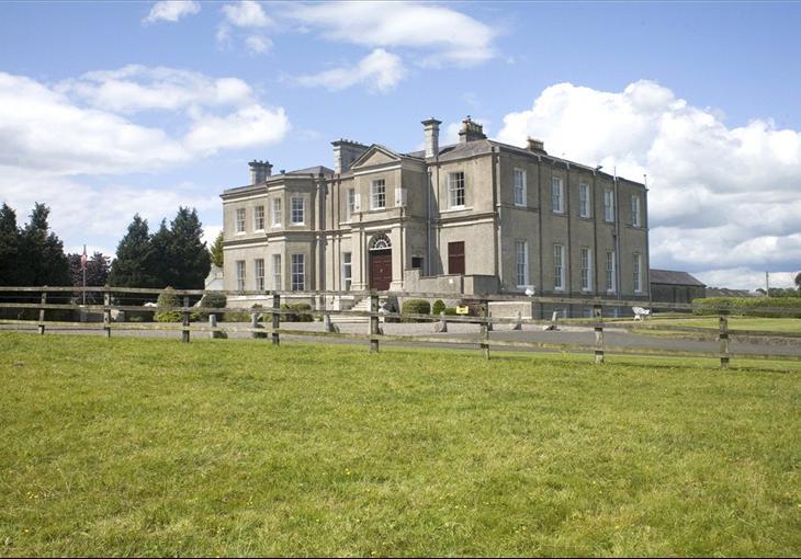 Enclosure in Cardington DemesneEnclosure · 1231 yd
 Scots PineScots Pine · 2.1 mi
 Inch WoodForest · 3.4 mi
 History of Moat of ArdscullVisitor information · 3.6 mi