What is recorded here
A road bridge (Wth 5.8m; long axis N-S), overgrown with ivy, which spans the Finoulagh River. It is built of random rubble sandstone and has two segmental arches (span 3.1m) with roughly shaped voussoirs. A low pointed cutwater occurs on the upstream side of the pier (Wth 0.9m). There is a plinth at the base of the S arch. Both arches are underpinned using concrete. The remains of stone paving is visible on the river bed beneath the arches. The parapets have concrete coping.
Compiled by: Elizabeth Byrne, Ursula Egan and Sheila Ronan, Archaeological Survey Unit, University College, Cork.
Date of upload: 31 January 2011
The monument record does not grant public access. Check the route and ask the landowner before entering private land.
- What survives
- Recorded monument
Places near here
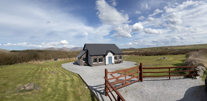 Hut site in DromickbaneHut site · 668 yd
 Owgarriff Br.Bridge · 853 yd
 Enclosure in Gortagullane (magunihy By.)Enclosure · 1099 yd
 Blue Pool Nature ReserveWood · 1.2 mi
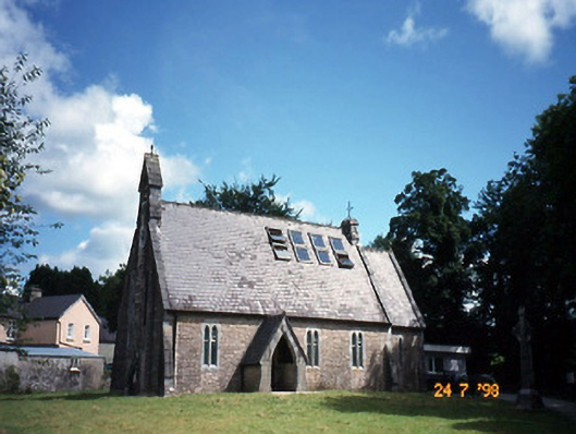 church/chapelchurch/chapel · 1.5 mi
 The Blue PoolGallery · 1.5 mi
 Sheheree Bog Nature ReserveNature reserve · 1.6 mi
 Muckross AbbeyHeritage attraction · 1.7 mi
 TooreencormickBattlefield · 2.0 mi
 A.W.B. (Billy) Vincent MemorialMemorial · 2.1 mi
 Osprey RockIsland · 2.1 mi
 Flesk CastleCastle · 2.2 mi