
What is recorded here
Finlieve More is recorded as a mountain / peak in County Down. Its open map record supplies this location and any linked names or public references.
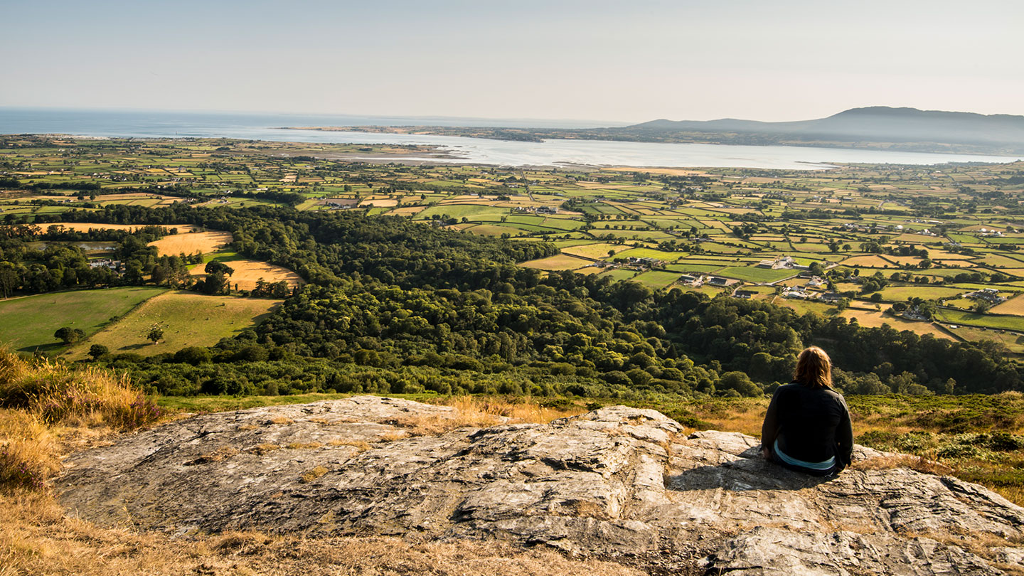
Finlieve More rises to approximately 500 metres and is part of the Mourne Mountains, composed largely of gneiss and granite. It holds significance as a lesser-known but distinctive peak within the scenic and geologically important Mournes range in County Down.
Places near here
 SlieveroeMountain / peak · 1074 yd
 SlieveanowenMountain / peak · 1275 yd
 Rostrevor ForestForest · 1.8 mi
 ENCLOSURE in BallymadeerfyENCLOSURE · 2.0 mi
 Kilfeaghan DolmenArchaeological place · 2.3 mi
 Yellow Water picnic sitePicnic place · 2.4 mi
.jpg?width=1280) Kilbroney HouseHouse · 2.6 mi
Kilbroney HouseHouse · 2.6 mi Church of the Sacred HeartChurch · 2.8 mi
 CROSSES (2); MULTIPERIOD CHURCH; GRAVEYARDS; HOLY WELL: KILBRONEY or ST.BRIDGET'S WELL in KilbroneyCROSSES (2); MULTIPERIOD CHURCH; GRAVEYARDS; HOLY WELL: KILBRONEY or ST.BRIDGET'S WELL · 2.8 mi
 Mourne ParkWood · 2.9 mi
 NATURAL FEATURE: PIERCE'S CASTLE in LeitrimNATURAL FEATURE: PIERCE'S CASTLE · 3.0 mi
 The Fairy GlenWalking route · 3.1 mi
Other information
Photo: Eric Jones · CC BY-SA 2.0