What is recorded here
Finland is a steamship in Orkney Islands, Scotland.
Places near here
Photo credits
- Colin Park, Wikimedia Commons · CC BY-SA 2.0
- Des Colhoun, Wikimedia Commons · CC BY-SA 2.0
- Dave Simpson, Wikimedia Commons · CC BY-SA 2.0
- Rob Burke, Wikimedia Commons · CC BY-SA 2.0
- Derek Brown, Wikimedia Commons · CC BY-SA 2.0
- Claire Pegrum, Wikimedia Commons · CC BY-SA 2.0
- Lis Burke, Wikimedia Commons · CC BY-SA 2.0
- No machine-readable author provided. Islandhopper assumed (based on copyright claims)., Wikimedia Commons · CC BY-SA 3.0
- Ian Balcombe, Wikimedia Commons · CC BY-SA 2.0
- Beth Loft, Wikimedia Commons · CC BY-SA 2.0
 Stronsay, the Brough of Burgh HeadStack Site · 7.6 mi
 Stronsay, Burgh HeadTreb Dyke (later Prehistoric) (possible) · 7.7 mi
 Burgh Hill, Stronsay's "summit"Mountain or hill · 8.2 mi
 Bay of HousebyBay · 8.8 mi
 Former school, StronsayHeritage place · 9.3 mi
 Stronsay, Lower Whitehall, Pier and SlipwayPier (post Medieval), Slipway (post Medieval) · 9.4 mi
 Grice NessHeadland · 9.5 mi
 Cemetery at Holland FarmChurch, cross or graveyard · 10.0 mi
 StronsayIsland · 10 mi
 Seals on the beachBeach · 10 mi
 Cata Sand Dunes and BeachBeach · 11 mi
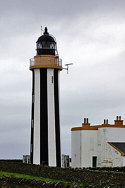 SandayIsland · 12 mi
More wrecks and historic events in Orkney Islands · All of Orkney Islands

What do you know about this place?Tap to add a comment or ask a question