What is recorded here
Map note: Near Kinglassie, Fife, Scotland, the map records Finglassin's Well as a spring. See the mapped point and what else lies nearby.
From OpenStreetMap (© OpenStreetMap contributors) n6790137754
Places near here
Photo credits
- Richard Webb, Wikimedia Commons · CC BY-SA 2.0
- Maker not stated on source page, www.tripadvisor.com.sg
- Maker not stated on source page, www.tripadvisor.com.ph
- Maker not stated on source page, www.dreamstime.com
- edward mcmaihin, Wikimedia Commons · CC BY-SA 2.0
- Immanuel Giel, Wikimedia Commons · Public domain
- Maker not stated on source page, www.youtube.com
- Maker not stated on source page, tr.pinterest.com
- Maker not stated on source page, www.pinterest.com
 KinglassieVillage · 256 yd
 Kinglassie, Church Lane, Kinglassie KirkChurch (15th Century) · 294 ydKinglassie, Church Lane, Kinglassie Kirk, Gateway and ChurchyardBurial Ground (post Medieval), Churchyard (post Medieval), Gateway (post Medieval) · 302 yd
 Kinglassie CemeteryCemetery · 693 yd
 Dogton, 'dogton Stone', 'dogton Stone, Cross Shaft'Cross · 1.3 mi
 Craigend HillMountain / peak · 1.6 mi
 Lomond Hills Regional ParkNature reserve · 1.6 mi
Explorer Tom Fife's Lomond Hills offer a wonderfully confusing name for anyone expecting to arrive at Loch Lomond. East Lomond and…
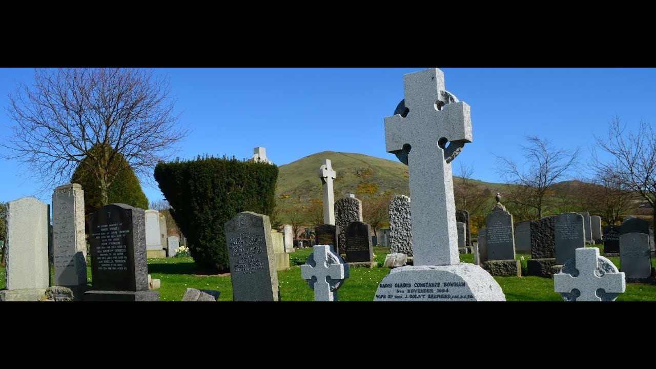 Auchterderran GraveyardGraveyard · 1.9 mi
 Strathenry CastleTower House (16th Century) · 2.0 mi
 Strathenry Castle, Western Garden HouseGarden House · 2.0 miStrathenry Castle, Eastern Garden HouseGarden House · 2.0 mi
 Carden ForestWood · 2.0 mi
More waterfalls, wells and springs in Fife · All of Fife

What do you know about this place?Tap to add a comment or ask a question