What is recorded here
In gently undulating grassland. A series of grassed-over collapsed stone walls cover an area c. 170m NE-SW by c. 150m E-W. Several small rectangular enclosures are visible, although most of the walls form no obvious pattern. A private burial plot and a CBG (GA059-066001-) lie within the system. (Claffey 1983, 164)
The above description is derived from the published 'Archaeological Inventory of County Galway Vol. II - North Galway'. Compiled by Olive Alcock, Kathy de hÓra and Paul Gosling (Dublin: Stationery Office, 1999).
Date of upload: 05 August 2010
The monument record does not grant public access. Check the route and ask the landowner before entering private land.
- What survives
- Recorded monument
Places near here
 IndicatedEnclosure · 158 yd
 Enclosure in Mullaghmore SouthEnclosure · 1.5 mi
 CastleCastle, unclassified · 1.5 mi
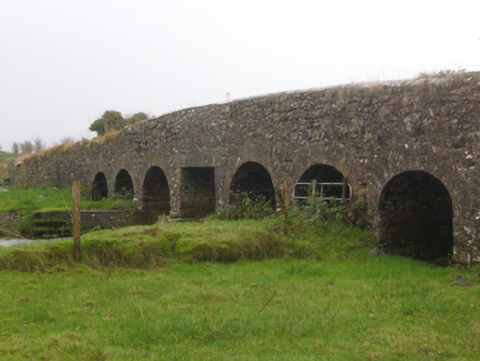 Abbert Bridgebridge · 1.7 mi
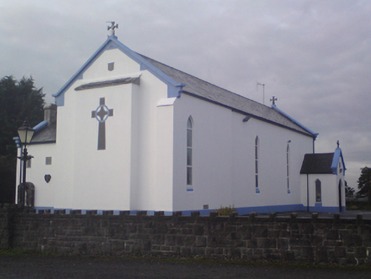 Saint Mary's Catholic Churchchurch/chapel · 1.7 mi
 Garbally Castle (in ruins)Castle, tower house · 2.3 mi
 Menlough IRAMemorial · 2.7 mi
 HawthornHawthorn · 3.0 mi
 SycamoreSycamore · 3.2 mi
 Knockmoy AbbeyHeritage attraction · 4.7 mi
 Kilconnell AbbeyHeritage attraction · 12 mi
 CarrownacreggCountry house · 1.7 mi