What is recorded here
Situated on a slight N-facing slope in a fairly level landscape. An area of about 10 acres (c. 3.5 ha) has relict field drains creating a pattern of rectangular plots (dims c. 15m x c. 20m to c. 20m x c. 30m) defined by low scarps. These are thought to be fairly modern. The N part had been planted in trees and the S part reclaimed by 2005 (OSAP).
The above description is derived from the published 'Archaeological Inventory of County Meath' (Dublin: Stationery Office, 1987). In certain instances the entries have been revised and updated in the light of recent research.
Compiled by: Michael Moore
Date of upload: 10 July 2007
Amended: 22 November 2021
The monument record does not grant public access. Check the route and ask the landowner before entering private land.
- What survives
- Recorded monument
Places near here
 Font in RathbegganFont · 1610 yd
 CastleCastle, motte · 1663 yd
 EnclosureEnclosure, large enclosure · 1.6 mi
 Caulstown Christmas Tree FarmForest · 2.3 mi
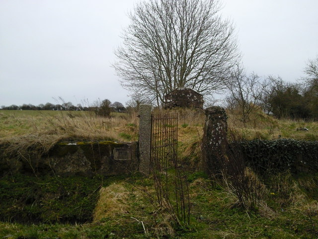 RuinChurch · 2.3 mi
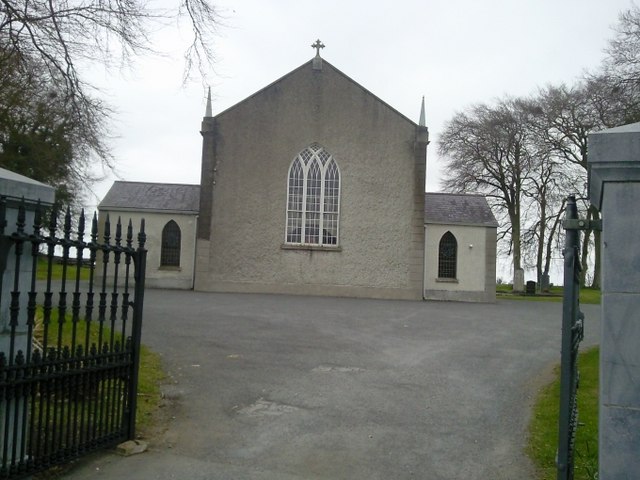 Catholic Church of the Assumptionchurch/chapel · 2.4 mi
 Site of Old CastleCastle, unclassified · 2.5 mi
 Lismahon 1798 MemorialMonument · 2.9 mi
 Wesley's WoodsWood · 3.3 mi
 AshbourneMemorial · 4.2 mi
 Hanwood GardensHeritage attraction · 4.5 mi
 Ash HillMountain / peak · 5.0 mi